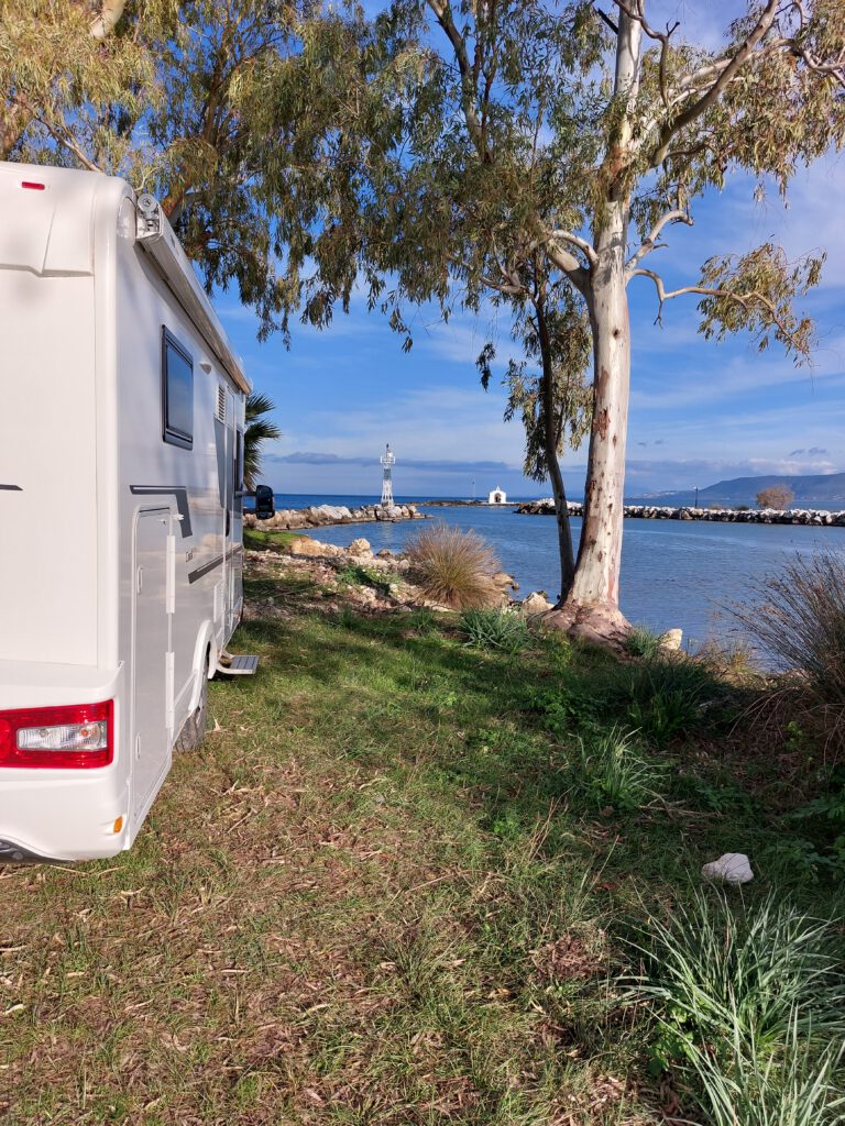
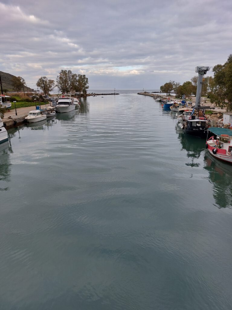
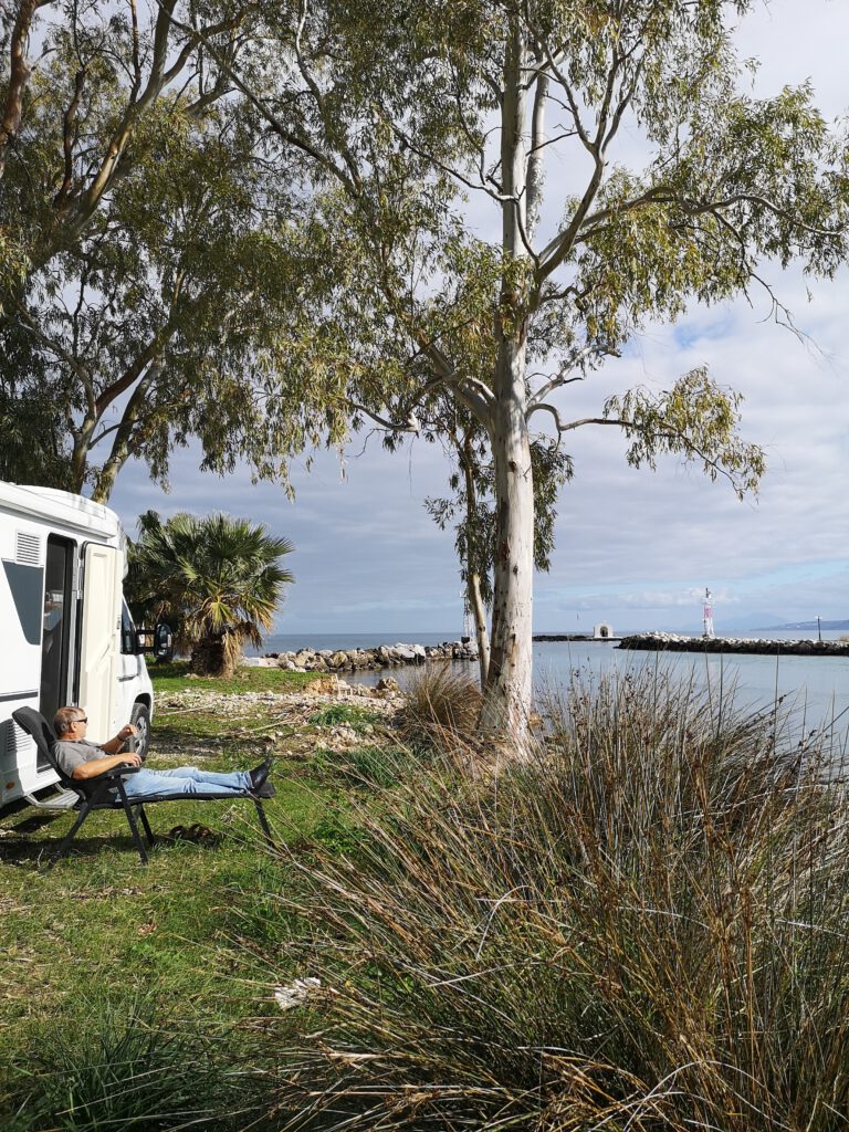
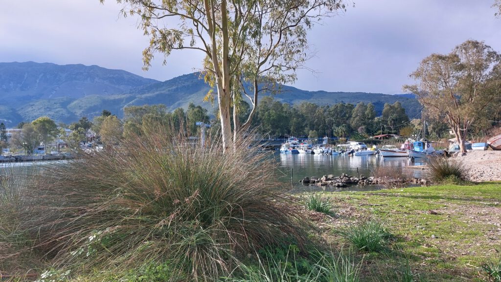
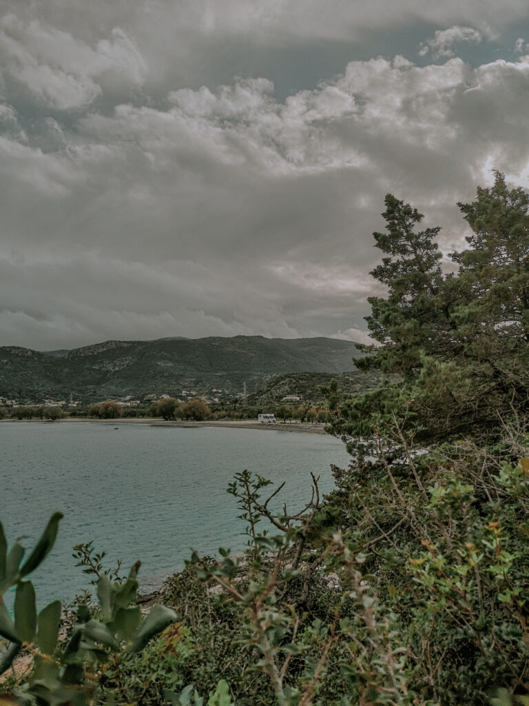
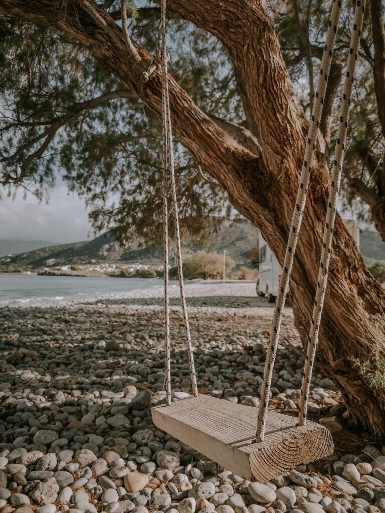
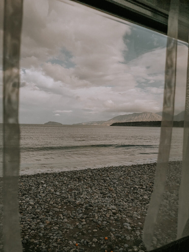
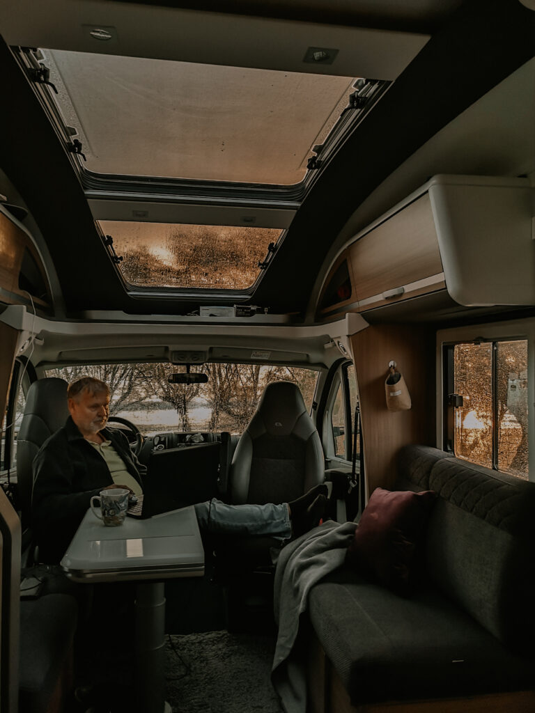
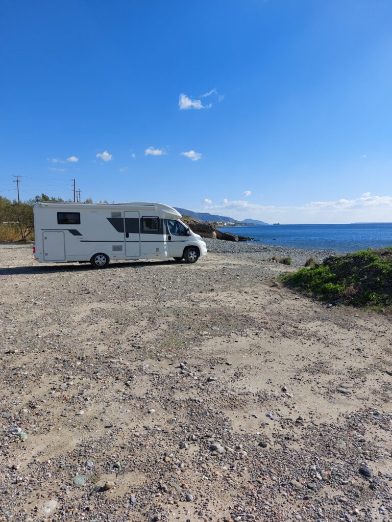
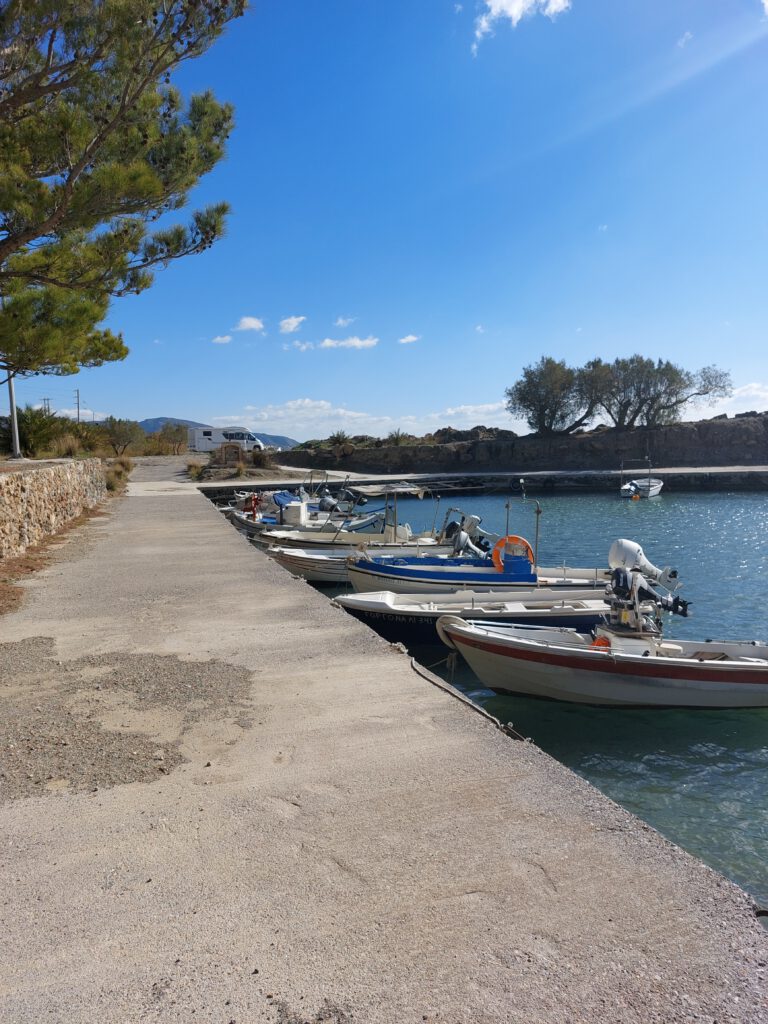
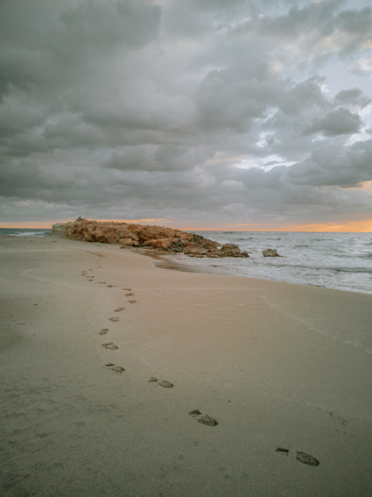
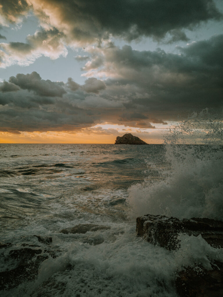
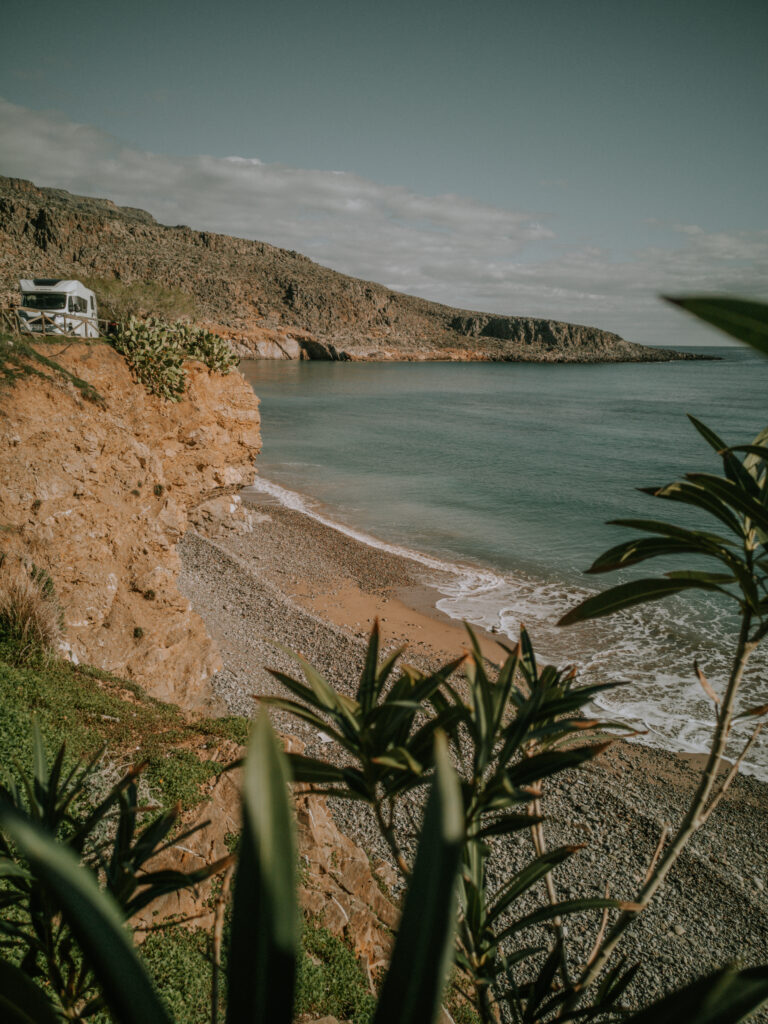
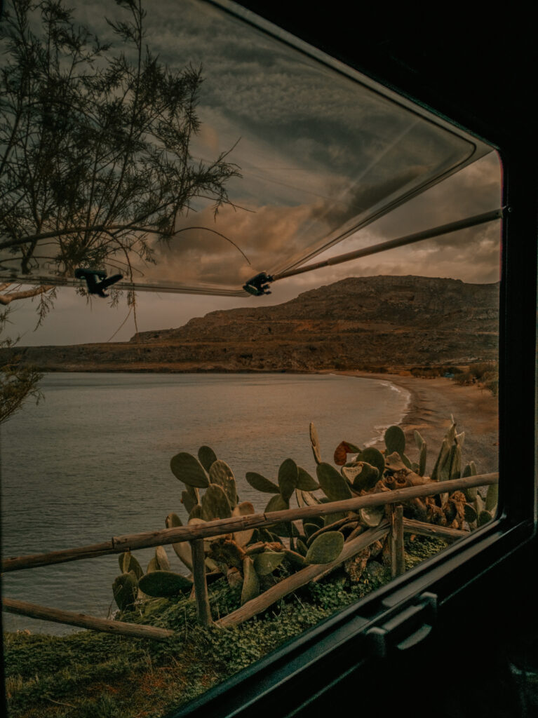
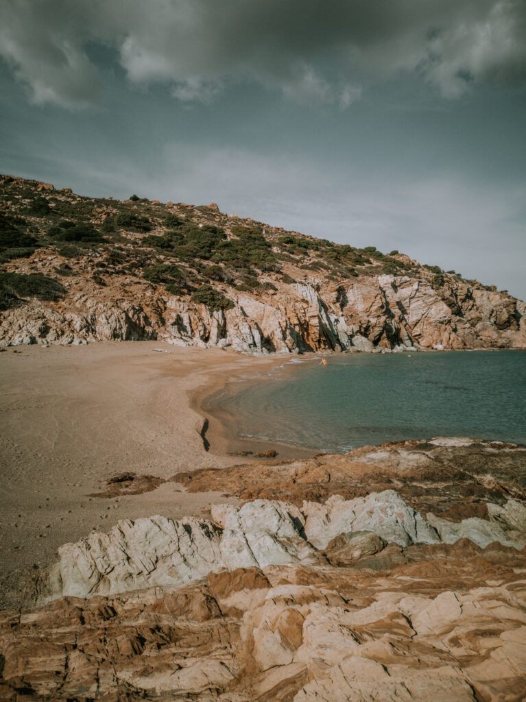
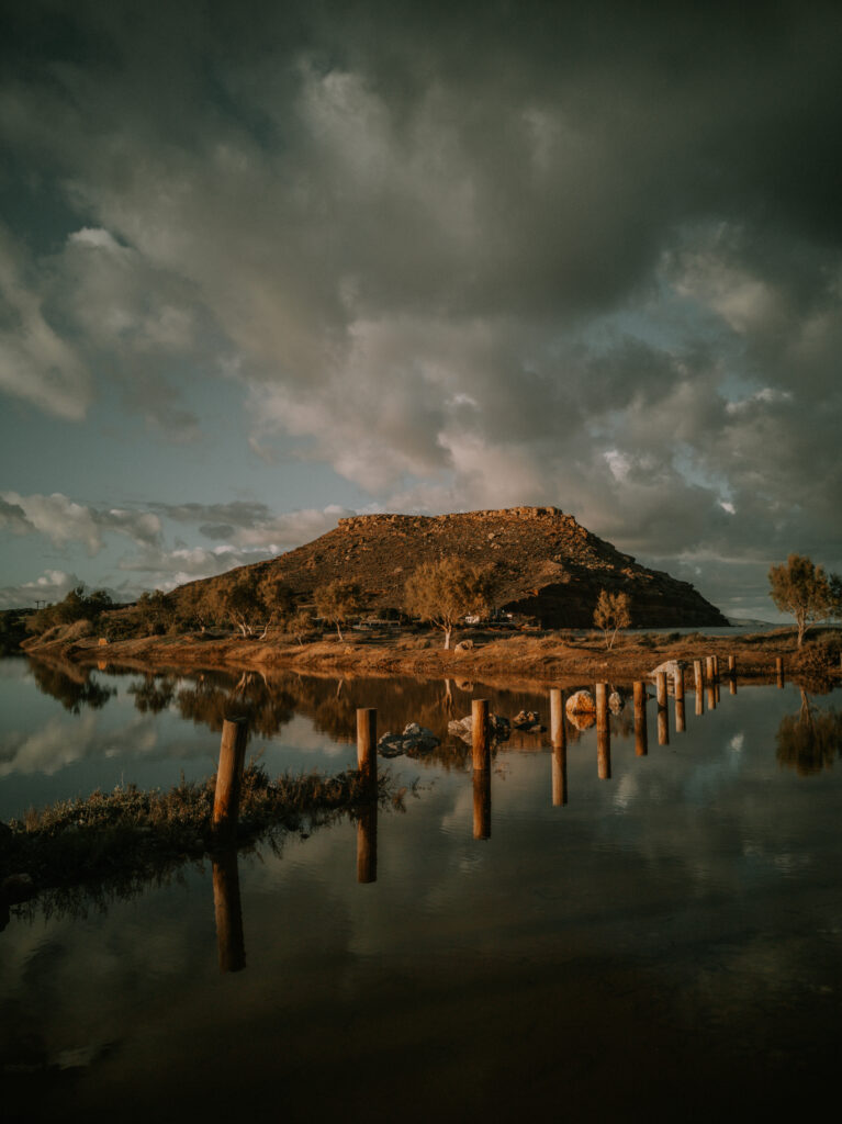
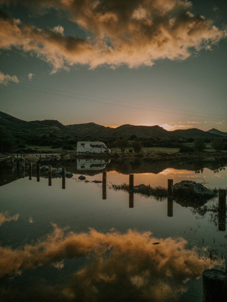
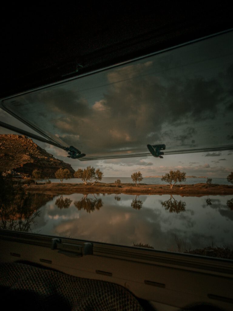
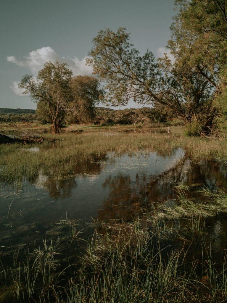
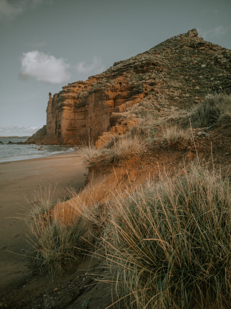
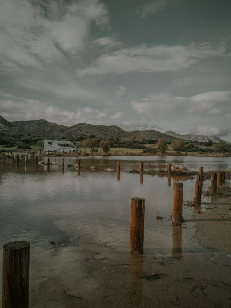
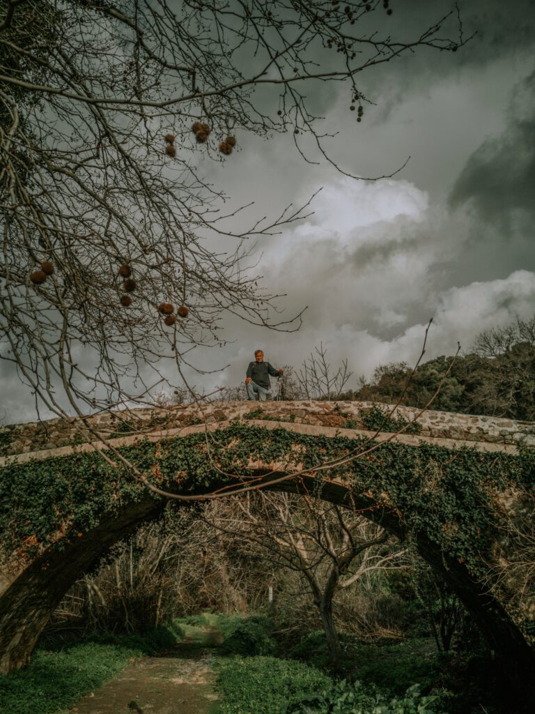
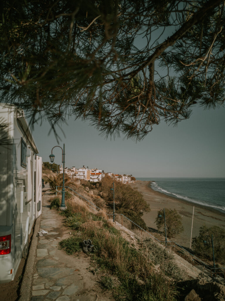
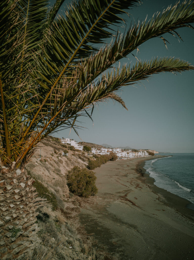
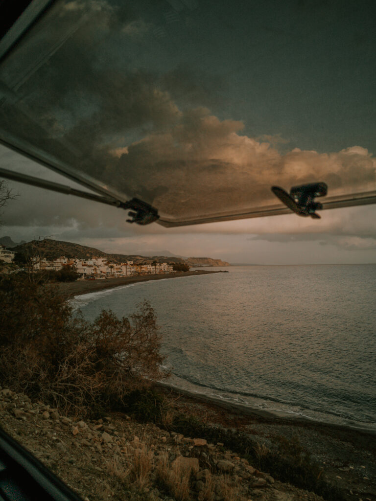
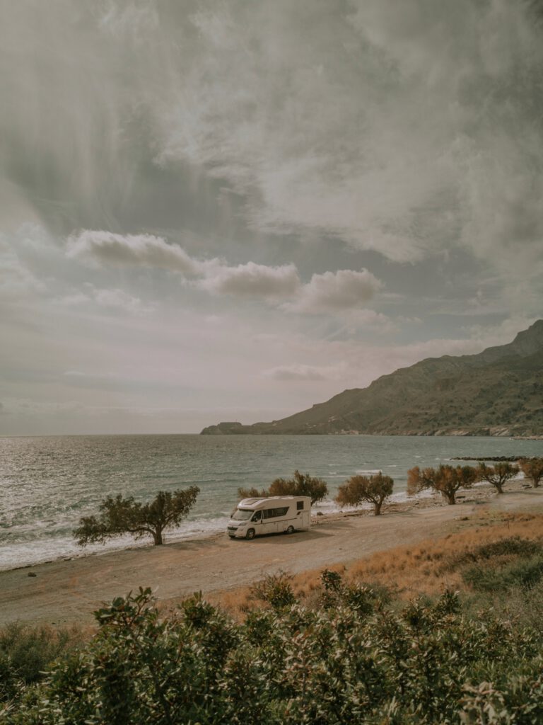
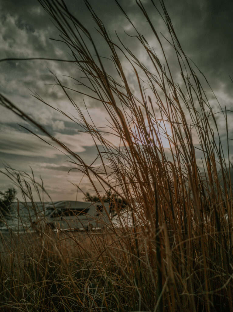
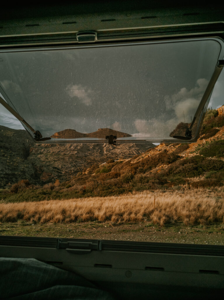
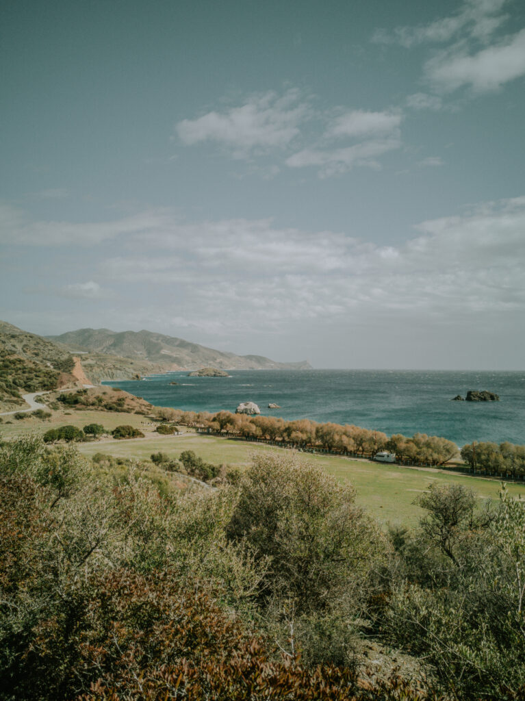
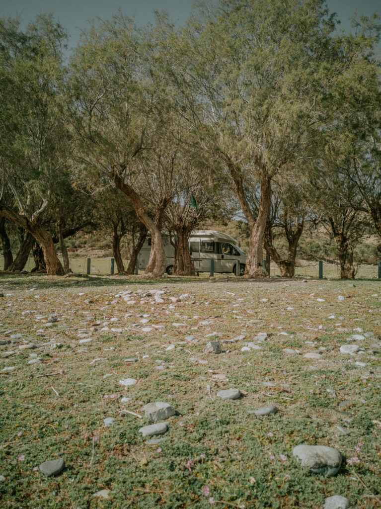
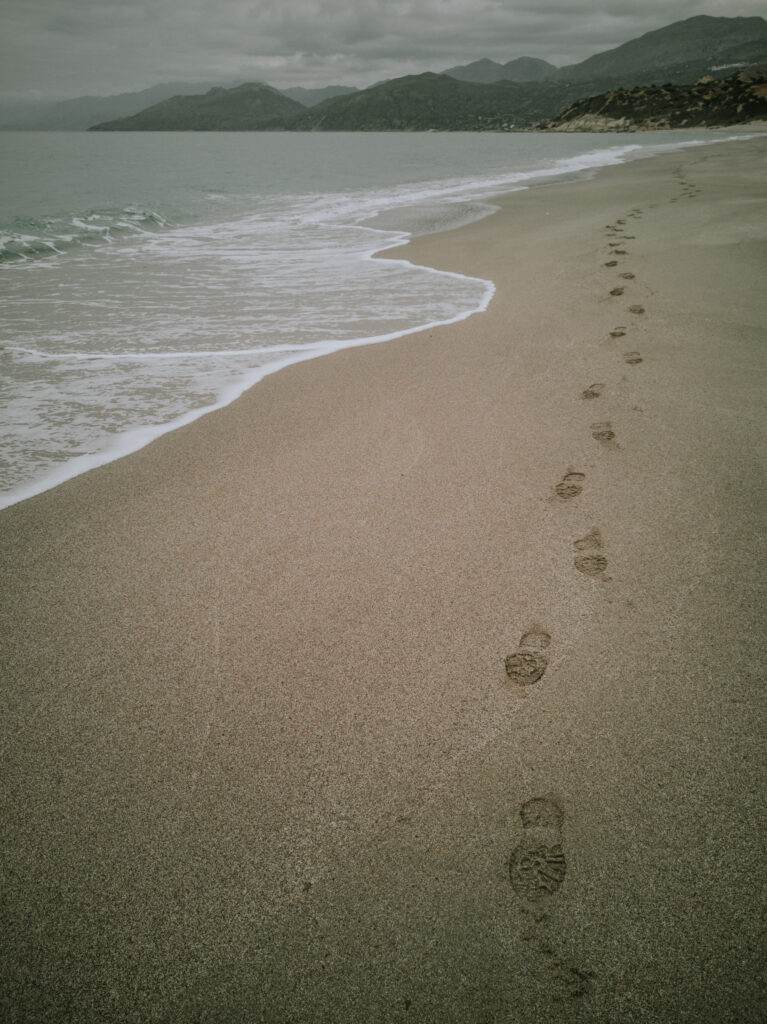
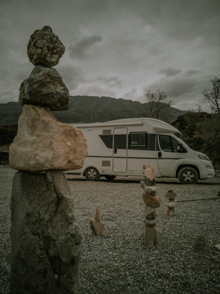
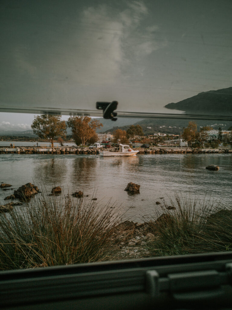
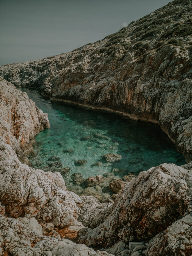
Nachdem wir Weihnachten und Silvester auf dem Grundstück der Familie in Galatas in Chania verbracht haben, beginnt nun unsere Tour nach Ostkreta. Unser erster Stop ist in Georgioupoli ca. 40 Km östlich von Chania. Dort steht man sehr idyllisch am Hafen auf der gegenüberliegenden Seite der Stadt (N 35° 21′ 56.10″, E 24° 15′ 41.10″). Hier verbringen wir fast eine Woche, weil Christine zwei Filmprojekte fertigstellen will. Kurze Tage, viel Regen und Wolken lassen unsere Stromreserven schmelzen. Deshalb fahren wir kurz zurück nach Akrotiri zu unserer Freundin Pigi zum Batterie laden und danach wieder zurück zur selben Stelle nach Georgioupoli.
After spending Christmas and New Year’s Eve on the family’s property in Galatas in Chania, our tour to East Crete now begins. Our first stop is in Georgioupoli about 40 km east of Chania. There you stand very idyllically at the harbor on the opposite side of the city (N 35° 21′ 56.10″, E 24° 15′ 41.10″). We spend almost a week here because Christine wants to finish two film projects. Short days, lots of rain and clouds are draining our power reserves. So we drive back to Akrotiri to our friend Pigi to charge the battery and then back to the same place to Georgioupoli.
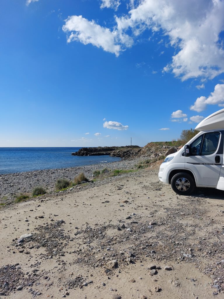
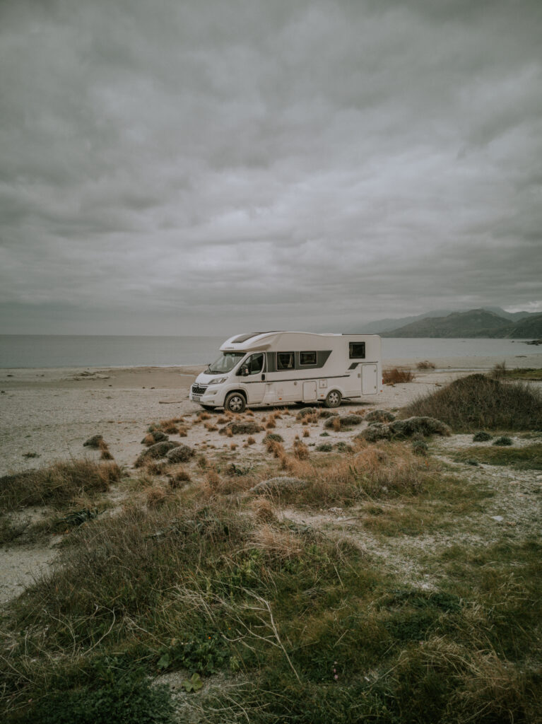
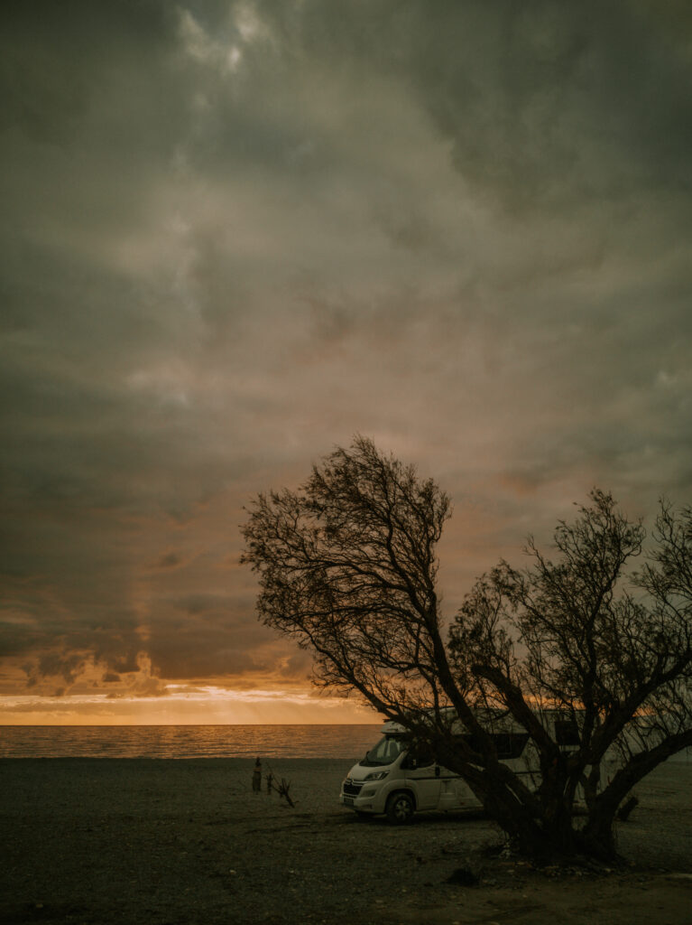
Am Dienstag, den 11.01. fahren wir dann endlich in den Ostteil der Insel bis Agios Nikolaos. In den engen Straßen und Gassen finden wir keinen Parkplatz für unser Wohnmobil. Deshalb fahren wir noch etwas weiter nach Süden und finden einen sehr schönen Platz am Strand von Karavostassi (N 35° 07′ 52.42″, E 25° 43′ 31.25″).
On Tuesday, January 11th we finally drive to the eastern part of the island to Agios Nikolaos. In the narrow streets and alleys we cannot find a parking space for our mobile home. So we drive a little further south and find a very nice spot on the beach of Karavostassi (N 35° 07′ 52.42″, E 25° 43′ 31.25″).
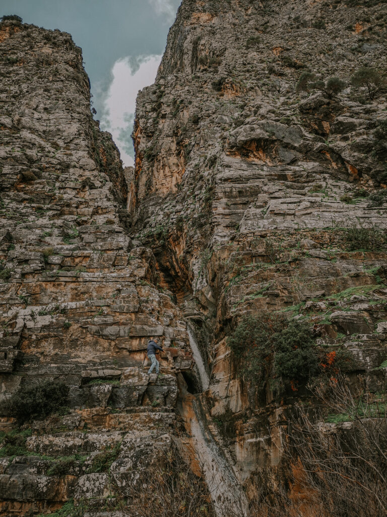
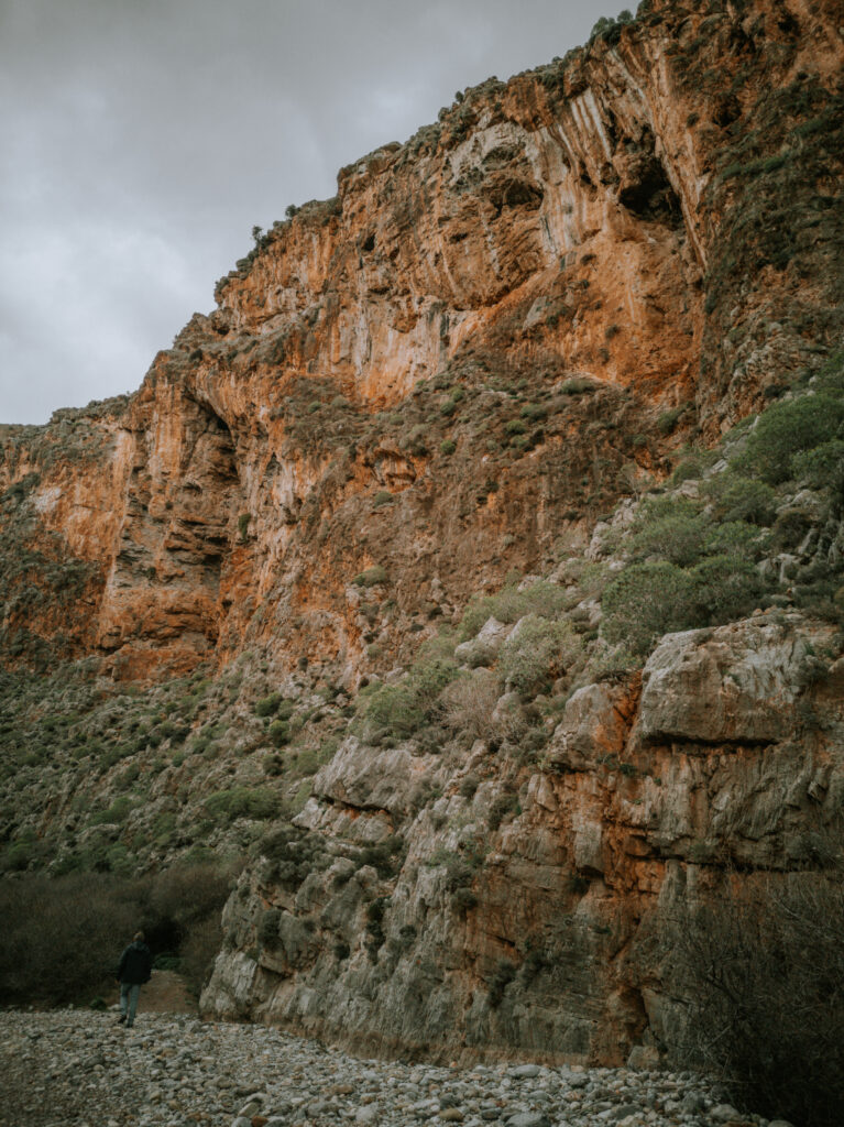
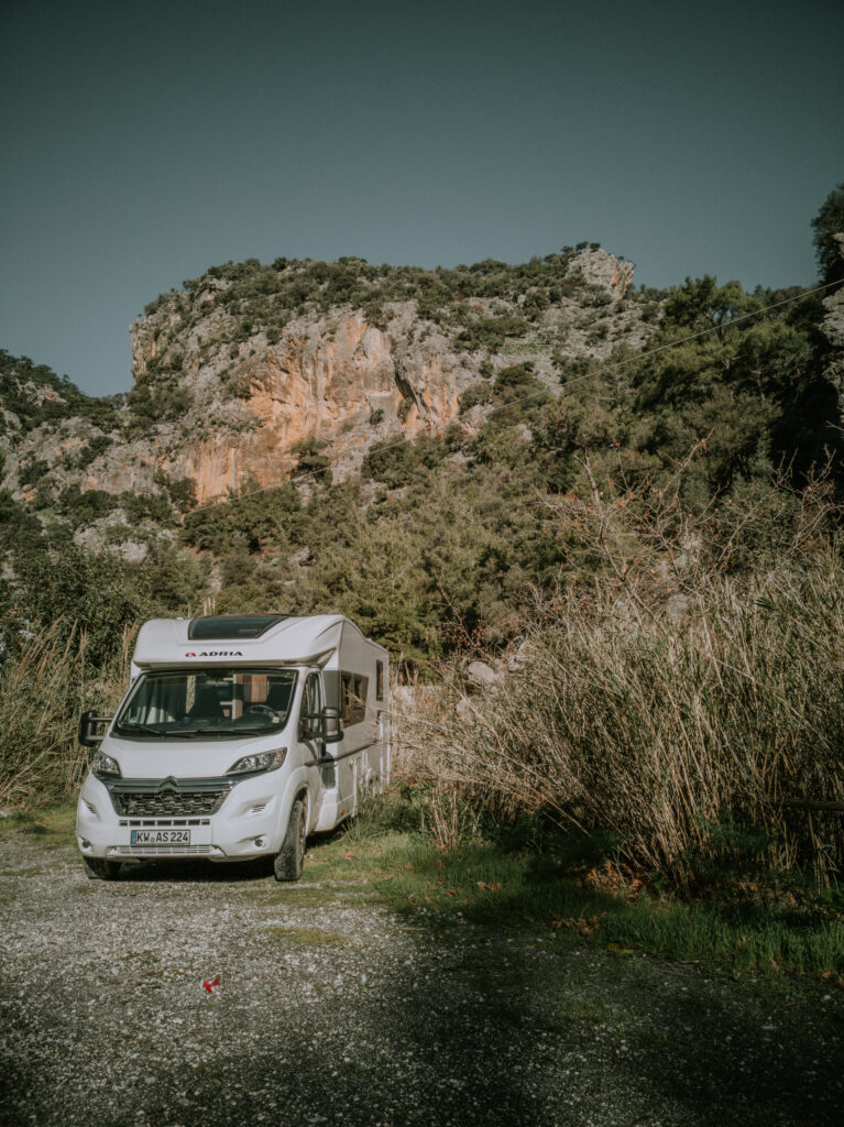
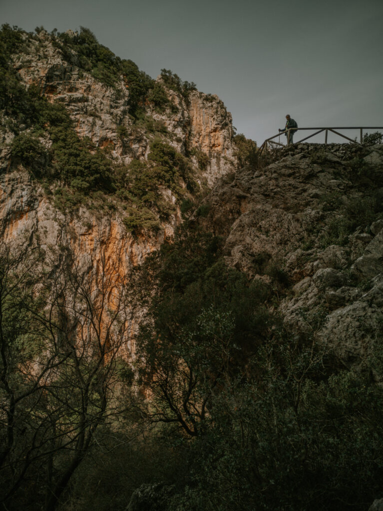
Es wird eine sehr unruhige Nacht, weil die Brandung durch den groben Kies extrem laut ist. Außerdem ist für die nächsten Tage starker Nordwind angesagt. So beschließen wir gleich am nächsten Morgen an die Südküste nach Ierapetra zu fahren. Nicht weit von der Hauptstraße machen wir einen Stop bei der sehr spektakulären Cha-Schlucht. Unser Wohnmobil stellen wir auf dem Parkplatz der Kartonfabrik ab (N 35° 05′ 23,50″, E 25° 49′ 55.30″) und laufen die restlichen Meter bis zum Eingang der Schlucht (N 35° 05′ 00″, E 25° 50′ 03.40″). Leider kann man ohne alpine Ausrüstung und Erfahrung nicht in die Schlucht hineinsteigen. Aber schon von außen ist diese Schlucht atemberaubend.
It’s going to be a very restless night because the surf is extremely loud due to the coarse gravel. In addition, strong north winds are forecast for the next few days. So we decide to drive to Ierapetra on the south coast in the morning. Not far from the main road we make a stop at the very spectacular Cha Gorge. We park our mobile home in the carton factory parking lot (N 35° 05′ 23.50″, E 25° 49′ 55.30″) and walk the remaining meters to the entrance of the gorge (N 35° 05′ 00″, E 25° 50′ 03.40″). Unfortunately, you cannot climb into the gorge without alpine equipment and experience. But even from the outside this gorge is breathtaking.
Nachdem wir uns satt gesehen haben, laufen wir zurück zum Wohnmobil und fahren weiter bis Ierapetra. Hier finden wir einen ruhigen Stellplatz neben dem westlichen kleinen Hafenbecken am Strand (N 35° 0′ 22.73″, E 25° 43′ 51.65″). Die nächsten Tage bringen Starkwind und Regen. Es ist kalt. Wir verlassen unser Heim nur kurz zum Einkaufen. Nachts werden wir von den Böen durchgeschüttelt.
After we have seen enough, we walk back to the mobile home and continue to Ierapetra. Here we find a quiet pitch next to the western small port on the beach (N 35° 0′ 22.73″, E 25° 43′ 51.65″). The next few days will bring strong winds and rain. It is cold. We leave our home only briefly to go shopping. At night we are shaken by the gusts.
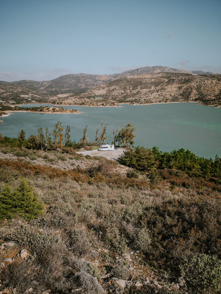
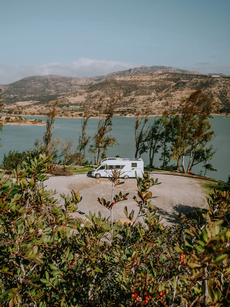
Am Freitag fahren wir trotz Sturm hoch zum Bramia Stausee oberhalb von Ierapetra. Vom Parkplatz neben dem Staudamm hat man eine gute Sicht über den Stausee (N 35° 02′ 05.59″, E 25° 41′ 40.1″). Das ist ein guter Ausganspunkt für eine Wanderung rund um den See. Durch die vielen Ausbuchtungen wird die Umrundung über 8 Km lang. Sehr anspruchsvoll bei diesem starken Wind. Auf dem Staudamm bläst es uns fast runter. Am Wohnmobil angekommen fahren wir wieder zurück nach Ierapetra zu unserem alten Platz am Hafen.
Despite the storm, on Friday we drive up to the Bramia reservoir above Ierapetra. From the parking lot next to the dam you have a good view over the reservoir (N 35° 02′ 05.59″, E 25° 41′ 40.1″). This is a good starting point for a hike around the lake. Due to the many bulges, the circumnavigation is over 8 km long. Very demanding in this strong wind. On the dam it almost blows us down. Arrived at the motorhome we drive back to Ierapetra to our old place at the port.
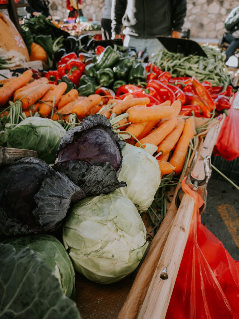
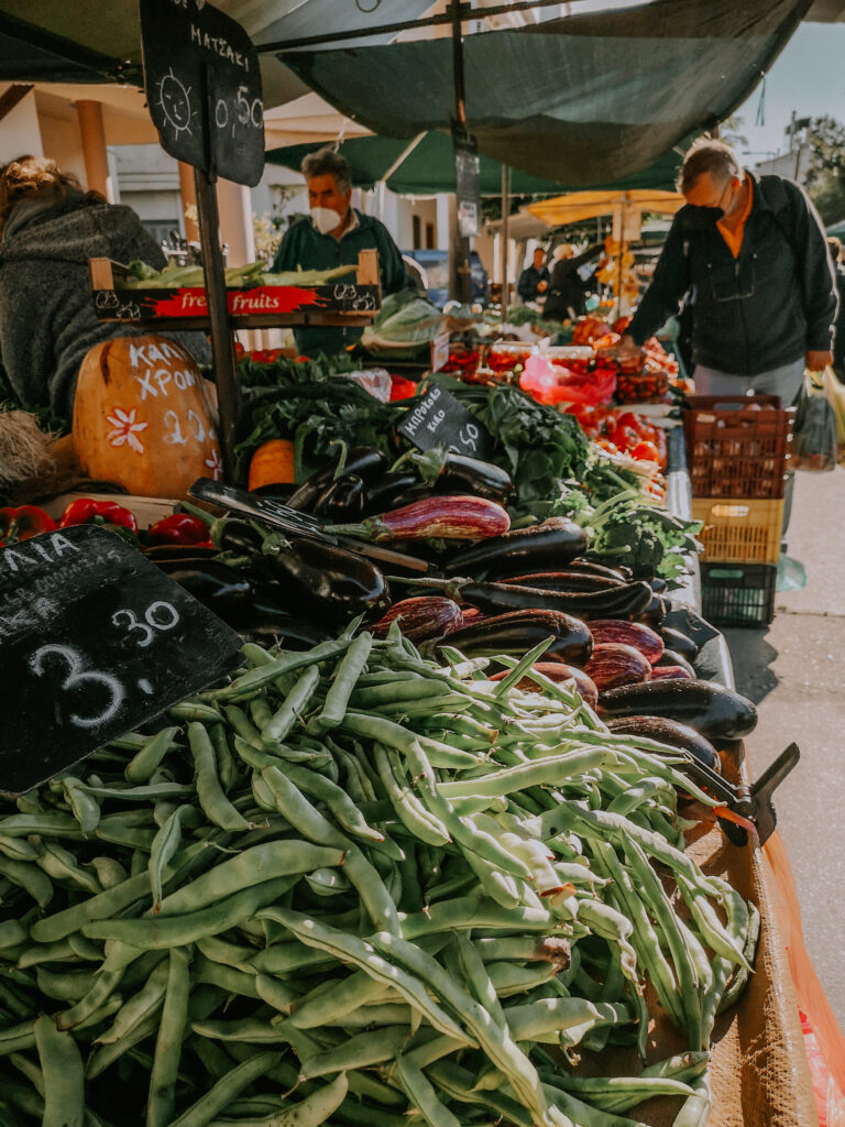
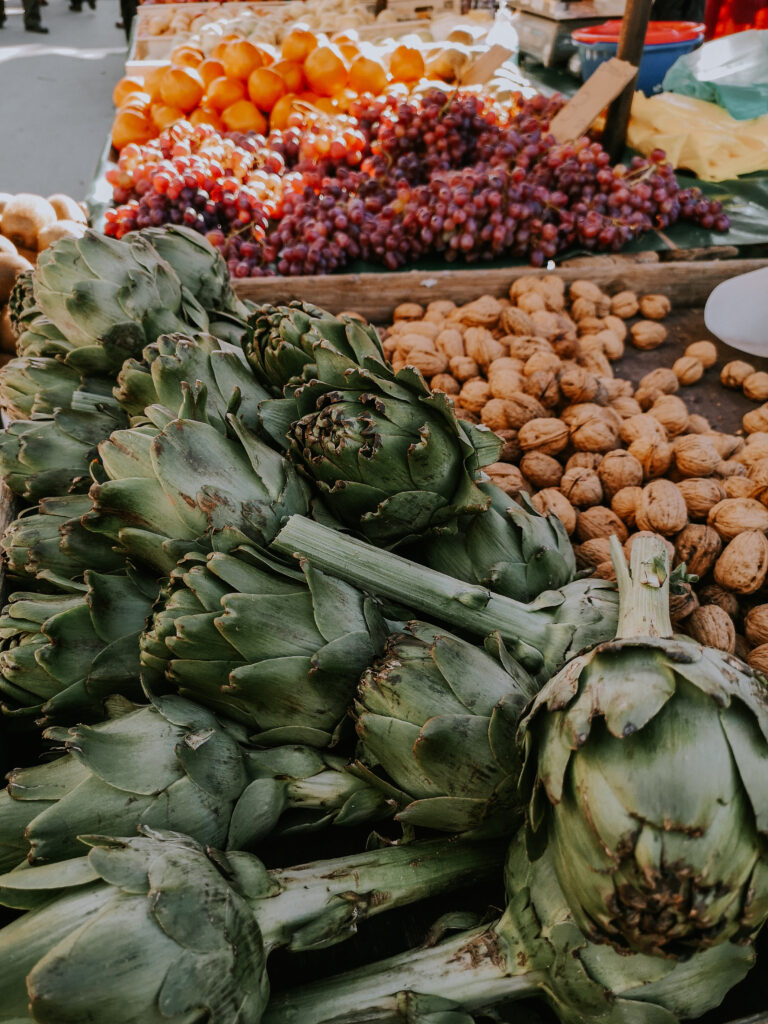
Nachts werden wir von den Fallböen wieder kräftig durchgeschüttelt. Am Samstagmorgen fahren wir zum Bauernmarkt. Wir kaufen direkt beim Erzeuger frisches Obst und Gemüse für die nächste Woche ein und holen den Rest beim Lidl.
At night we are again shaken by the gusts of fall. On Saturday morning we drive to the farmer’s market. We buy fresh fruit and vegetables for the next week directly from the producer and get the rest from Lidl.
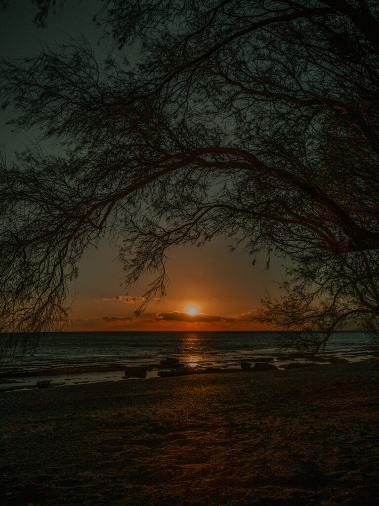
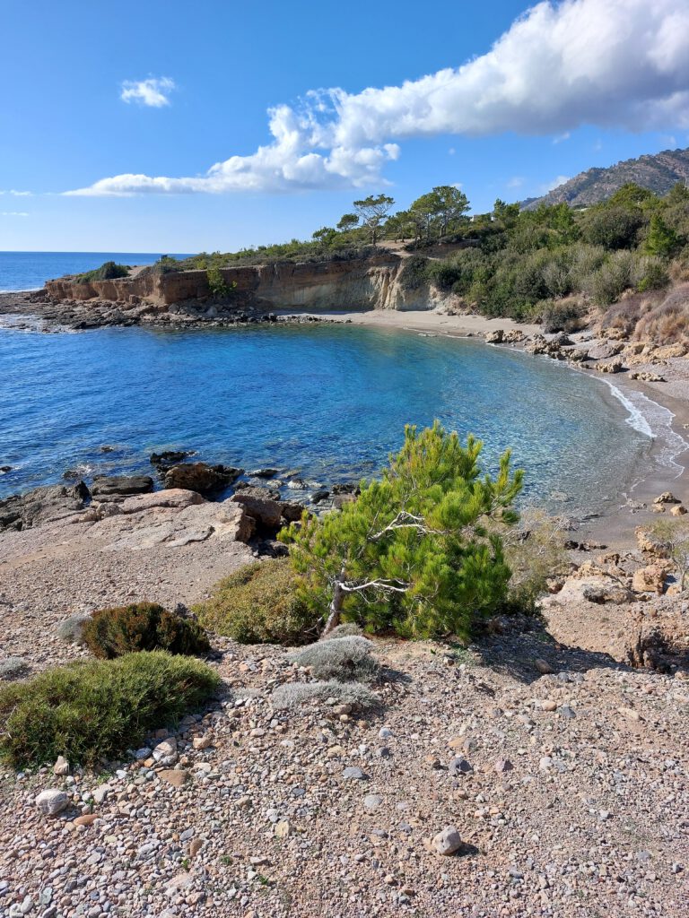
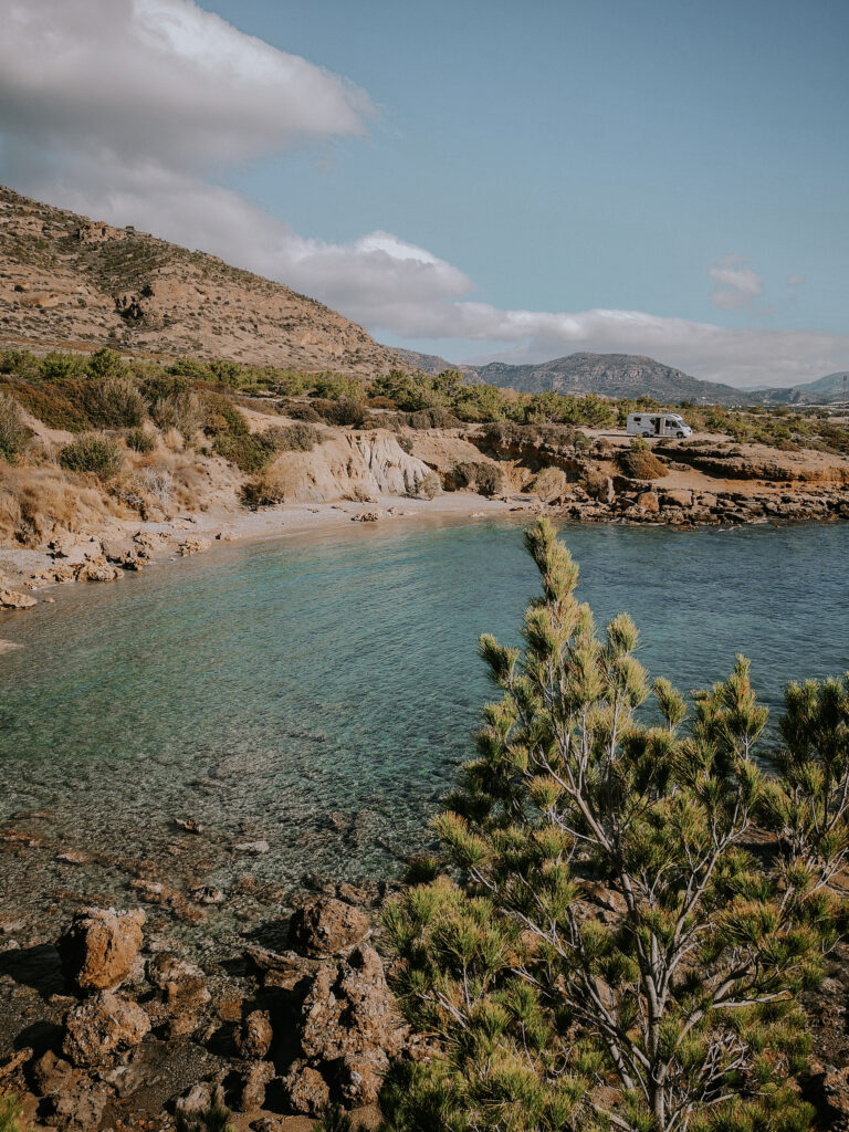
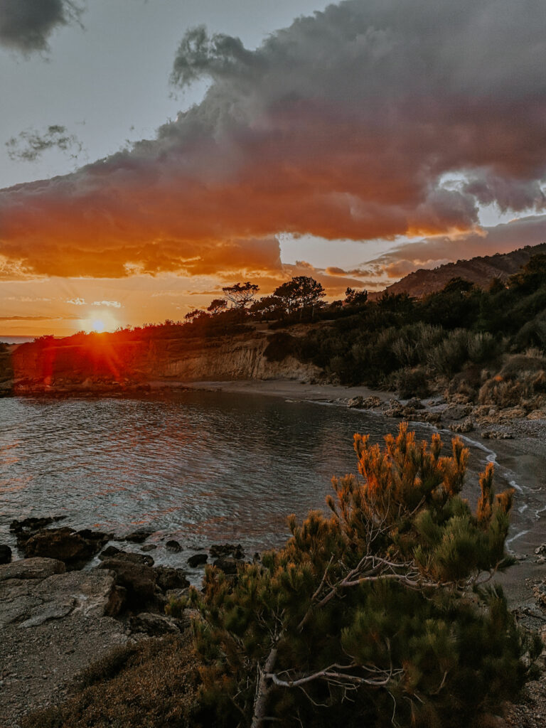
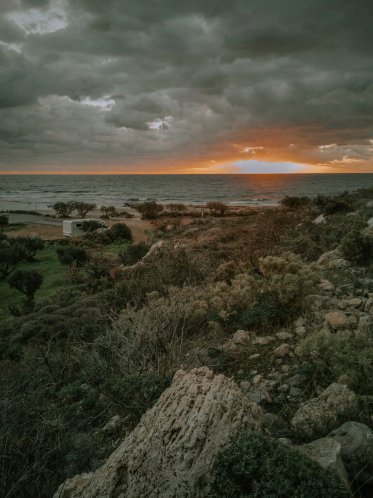
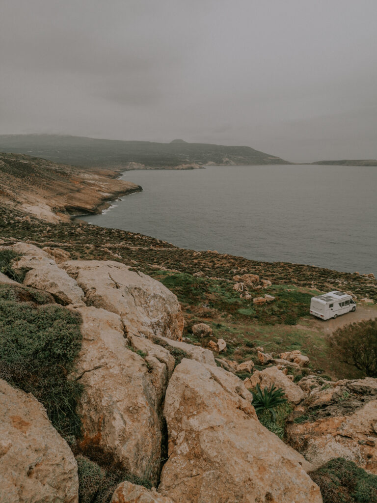
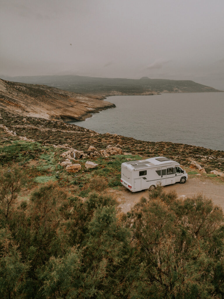
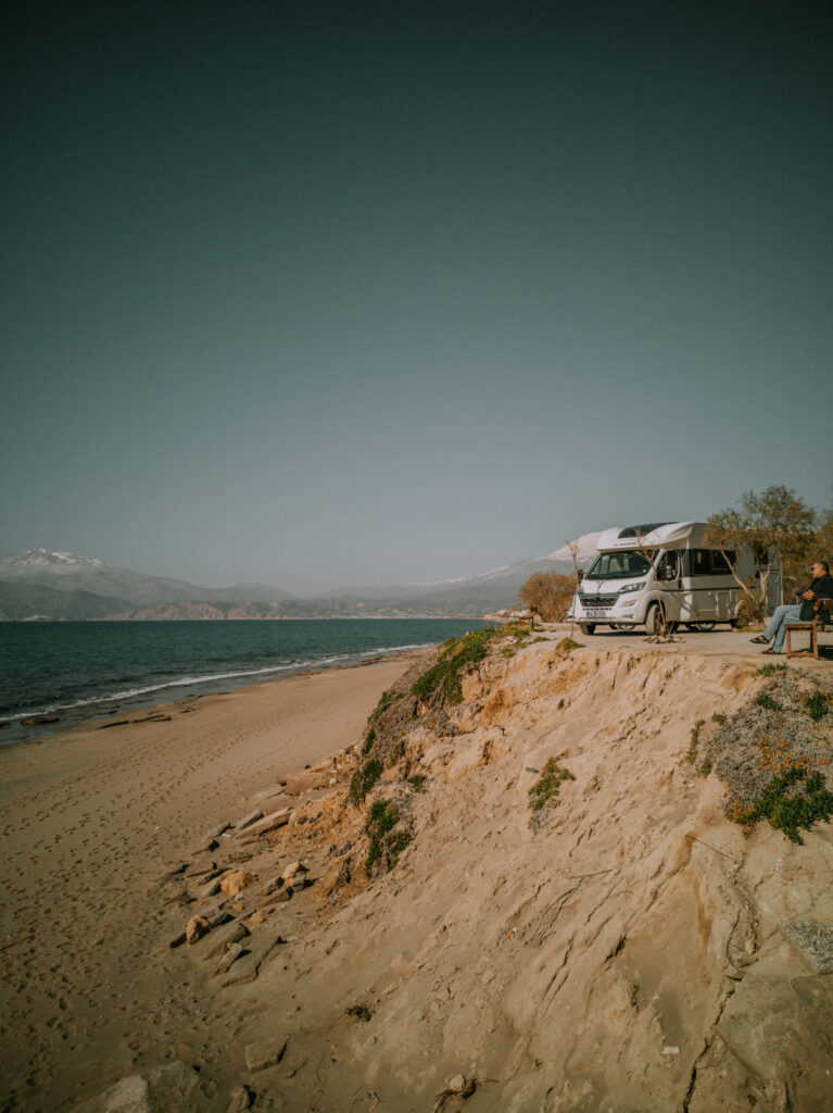
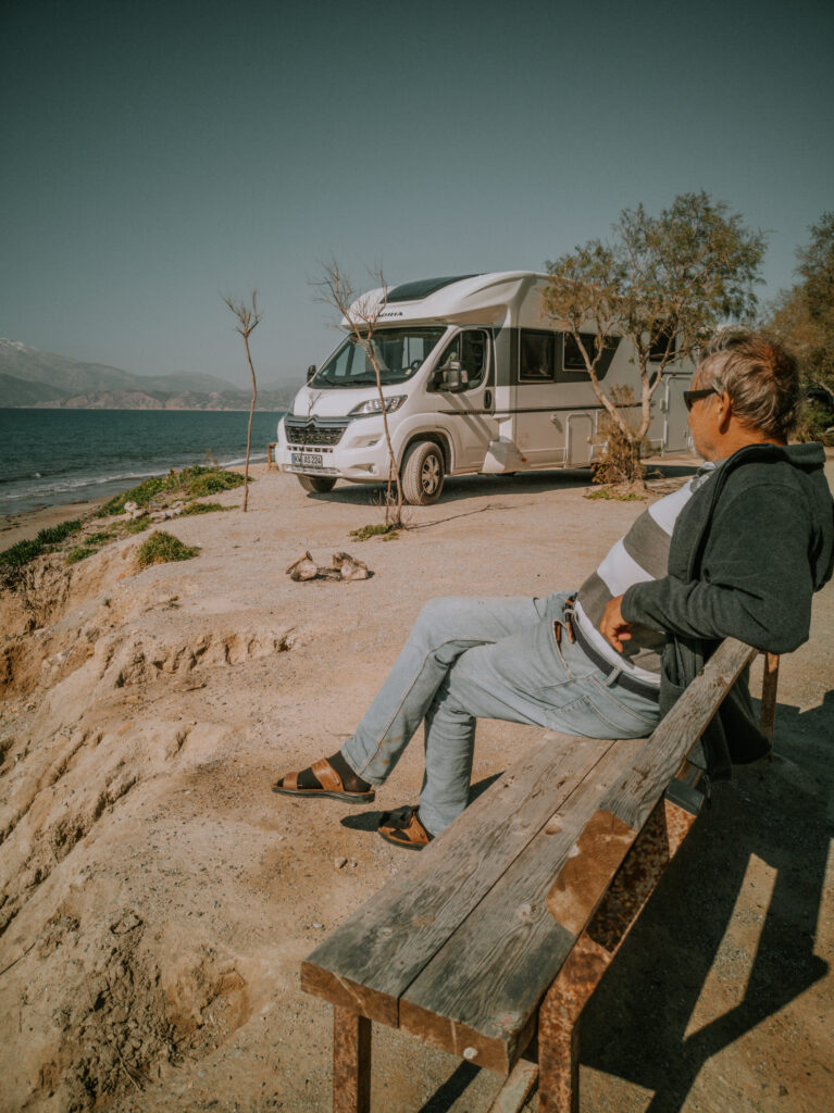
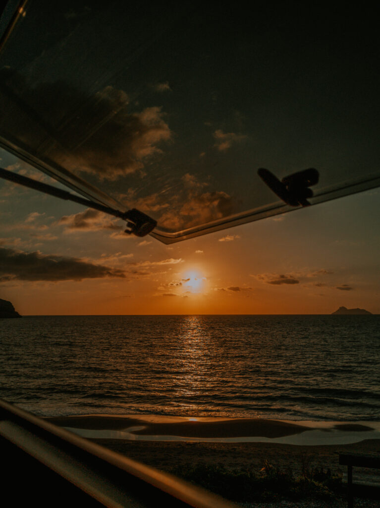
Nach dem Einkaufen fahren wir die Küstenstraße in Richtung Osten. Unser Ziel ist die Dasaki-Schlucht in der Nähe von Koutsouras. 500 m vor dem Parkplatz am Eingang der Schlucht finden wir einen sehr schönen Platz auf einer Klippe über dem Meer mit unserer eigenen Bucht (N 35° 01′ 59.30″, E 25° 55′ 31.10″). Wir nutzen den Privatstrand sofort zum Schwimmen und genießen danach den Sonnenuntergang.
After shopping we drive east along the coast road. Our destination is the Dasaki Gorge near Koutsouras. 500 m before the parking lot at the entrance of the gorge we find a very nice place on a cliff above the sea with our own bay (N 35° 01′ 59.30″, E 25° 55′ 31.10″). We use the private beach immediately for swimming, and then we enjoy the sunset.
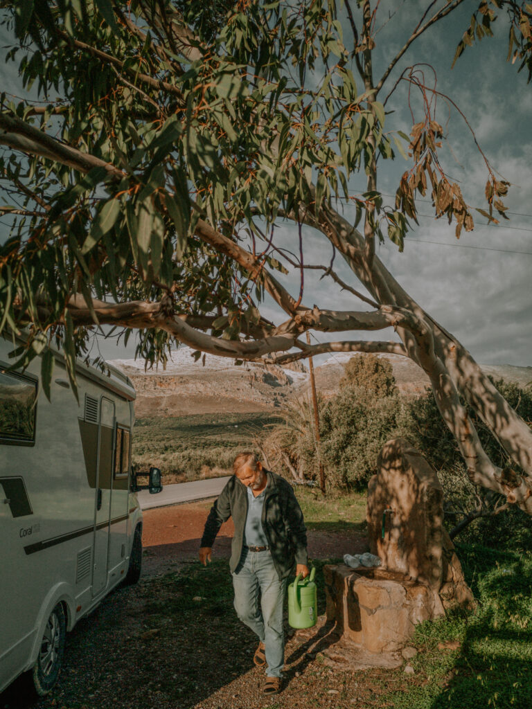
Nachts nimmt der Wind so stark zu, dass wir Angst haben, von der Klippe geweht zu werden. Wir entschließen uns gegen 22 Uhr bei Vollmond zum Parkplatz der Taverne am Eingang zur Dasaki-Schlucht zu fahren, um dort in dem kleinen Wäldchen Schutz zu suchen (N 35° 02′ 06.19″, E 25° 55′ 58.77″). Am Sonntagmorgen läßt der Wind nach, und wir fahren über die Straße zum Parkplatz am kleinen Hafen direkt am Meer (N 35° 02′ 04.77″, E 25° 55′ 57.75″). Hier bekommen unsere Solarzellen genug Sonne, und am Hafen gibt es sogar einen Wasserhahn.
At night the wind increases so much that we are afraid of being blown off the cliff. At around 10 p.m. under a full moon, we decide to drive to the parking lot of the tavern at the entrance to the Dasaki Gorge to seek shelter in the small forest (N 35° 02′ 06.19″, E 25° 55′ 58.77″). On Sunday morning the wind dies down and we drive across the road to the car park at the small harbor by the sea (N 35° 02′ 04.77″, E 25° 55′ 57.75″). Here our solar panels get enough sun, and there is even a water tap at the port.
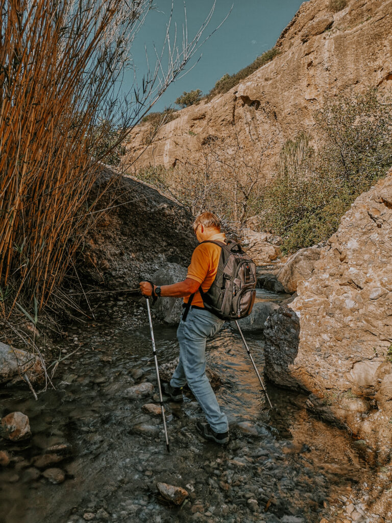
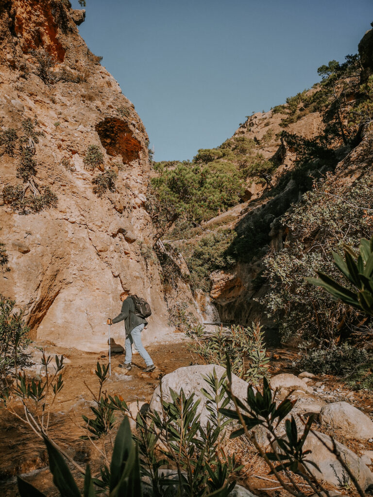
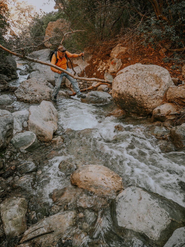
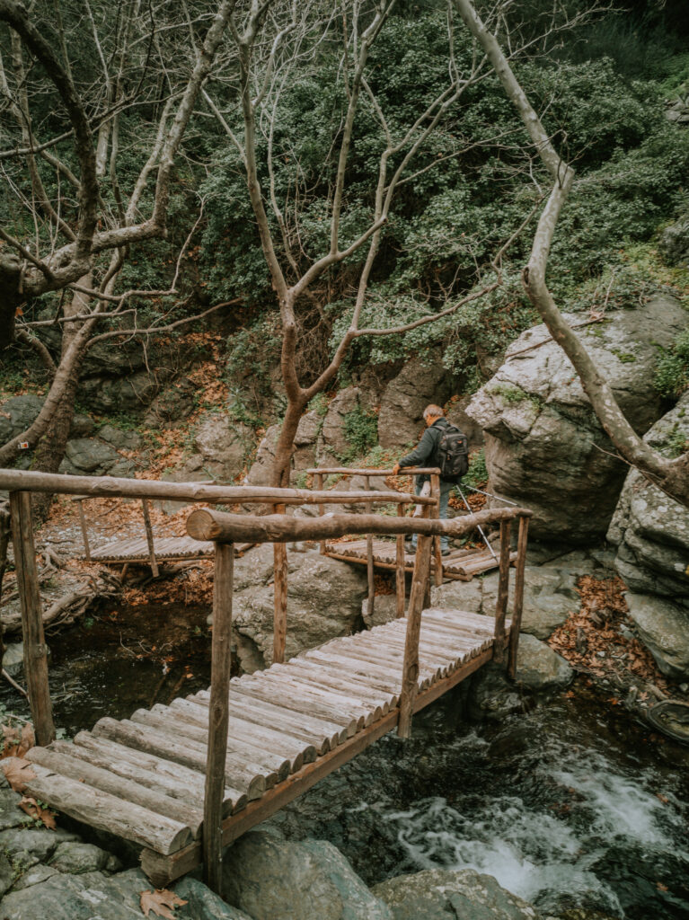
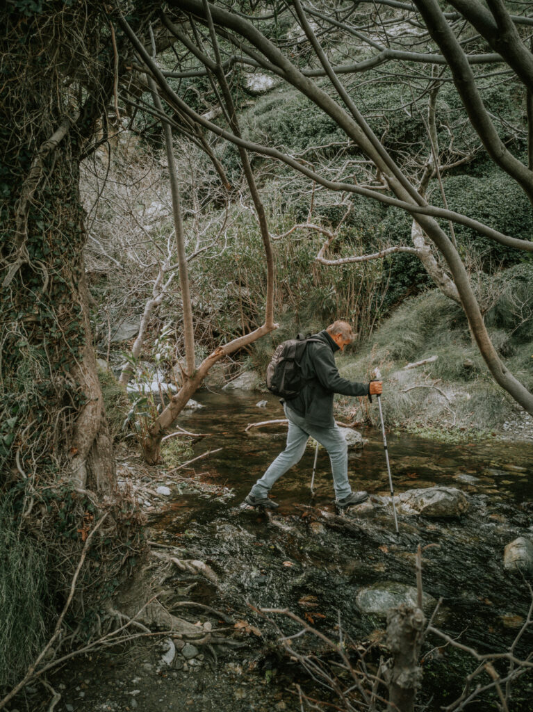
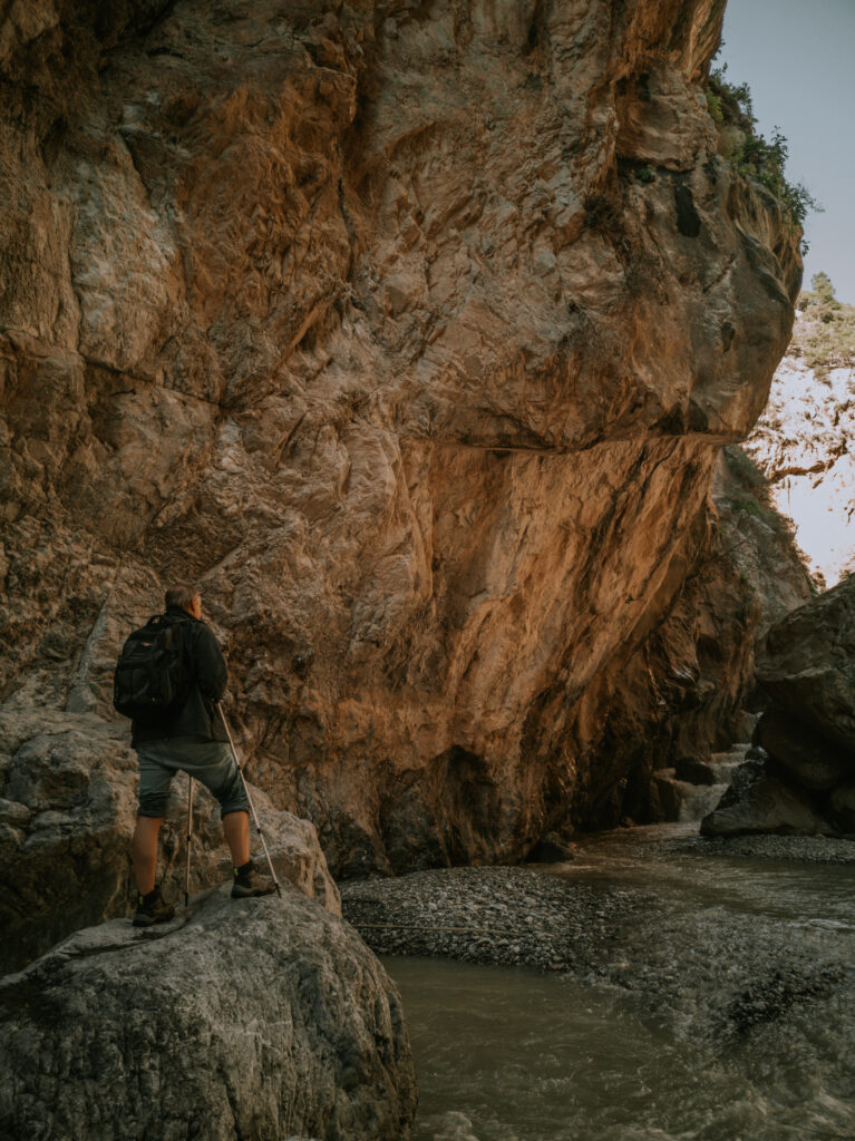
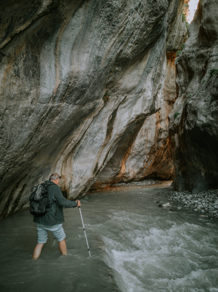
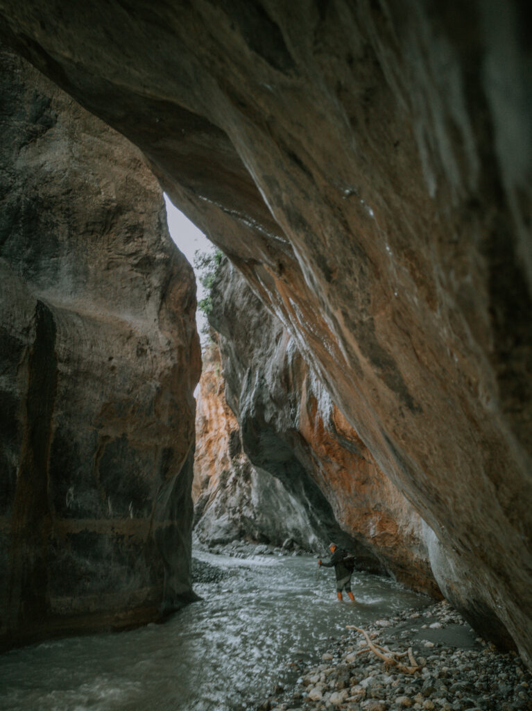
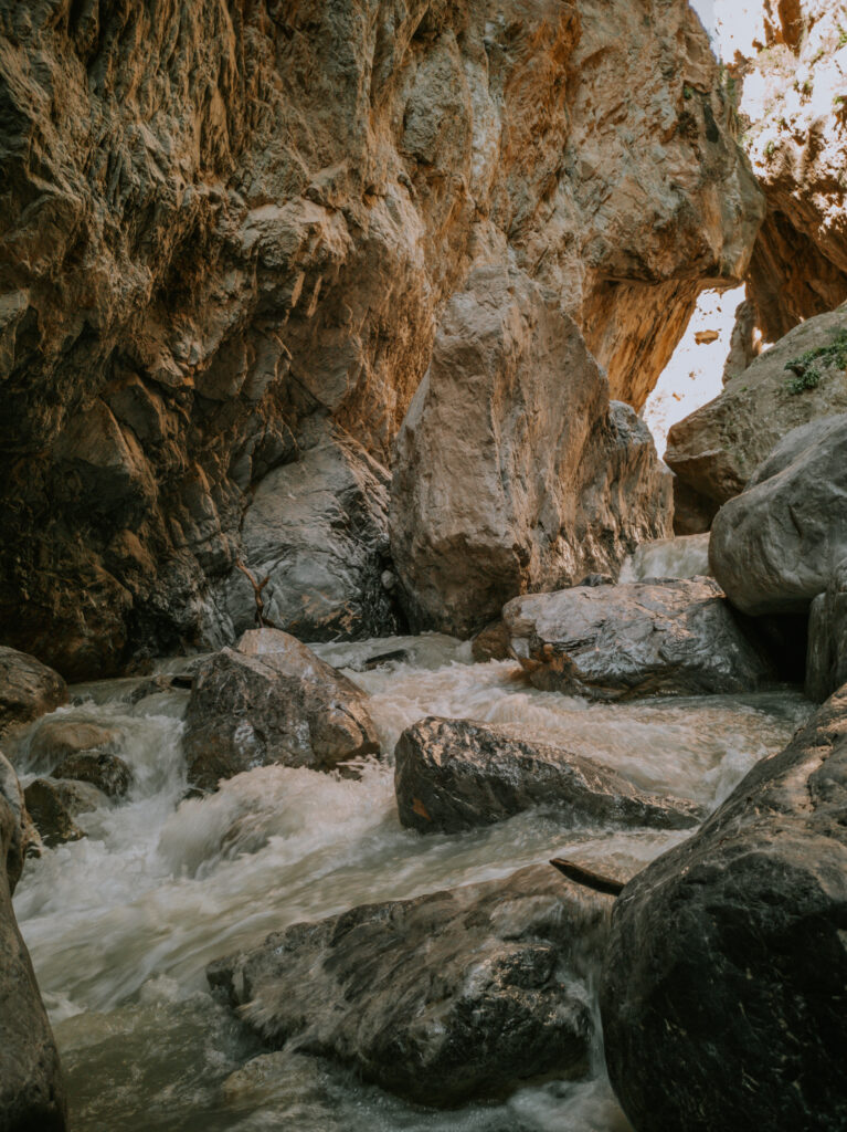
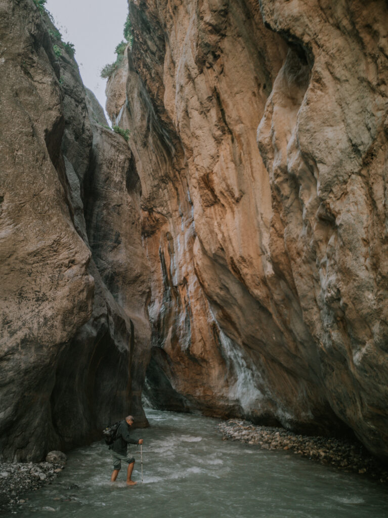
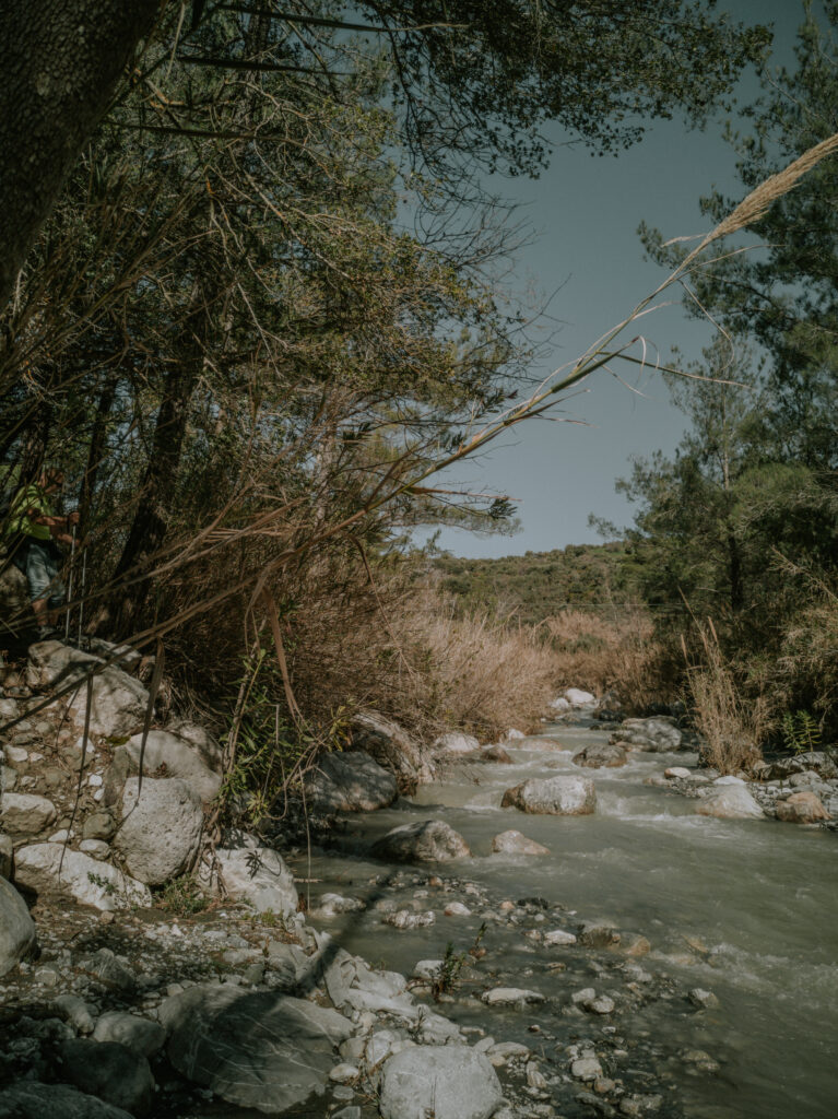
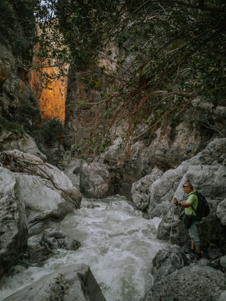
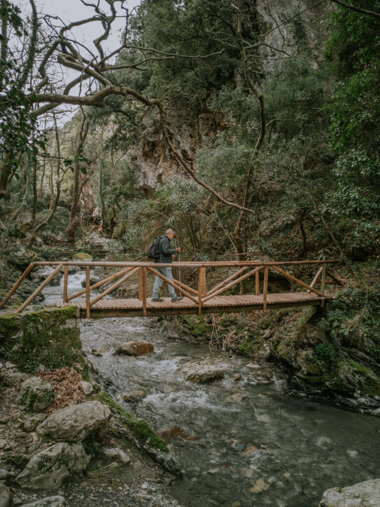
Von hier aus brechen wir am Montagmorgen zur Wanderung in die Dasakischlucht auf. Diese Wanderung wird besonders abenteuerlich und anspruchsvoll. Die Schlucht ist an manchen Stellen so eng, so dass wir oft das fließende Wasser im Fluß überqueren müssen. Es geht wirklich über Stock und Stein. Wir sind froh, gute Wanderschuhe und unsere Wanderstöcke zu haben. Nach mehr als 8 Km und ca. 5 h sitzen wir total erschöpft wieder in unserem Wohnmobil. Ein tolles Erlebnis.
On Monday morning we start hiking from here into the Dasaki Gorge. This hike will be particularly adventurous and demanding. The gorge is so narrow in some places that we often have to cross the flowing water in the river. It really goes over stick and stone. We are lucky to have good walking shoes and our walking sticks. After more than 8 km and about 5 hours we are totally exhausted back in our mobile home. A great experience.
Nachdem wir am nächsten Morgen unsere Wasservorräte aufgefüllt haben, fahren wir weiter die Südküste entlang zur Ostküste nach Xerocampus. Hier stellen wir uns wieder direkt ans Meer in der Nähe des Argilos-Strandes (N 35° 02′ 25.32″, E 26° 13′ 55.90″). Dieser Strand ist bekannt für seine Tonerde. Im Sommer ist der Strand voll, auch von Griechen, die die Erde als Kosmetika benutzen. Ein natürliches Spa. Wir erleben hier am nächsten Tag einen fantastischen Sonnenaufgang.
After stocking up on our water supplies the next morning, we continue driving down the south coast to the east coast to Xerocampus. Here we are again facing the sea near Argilos Beach (N 35° 02′ 25.32″, E 26° 13′ 55.90″). This beach is known for its clay. In summer the beach is crowded, including by Greeks who use the clay as cosmetics. A natural spa. The next day we experience a fantastic sunrise here.
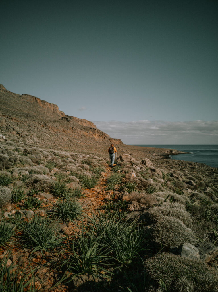
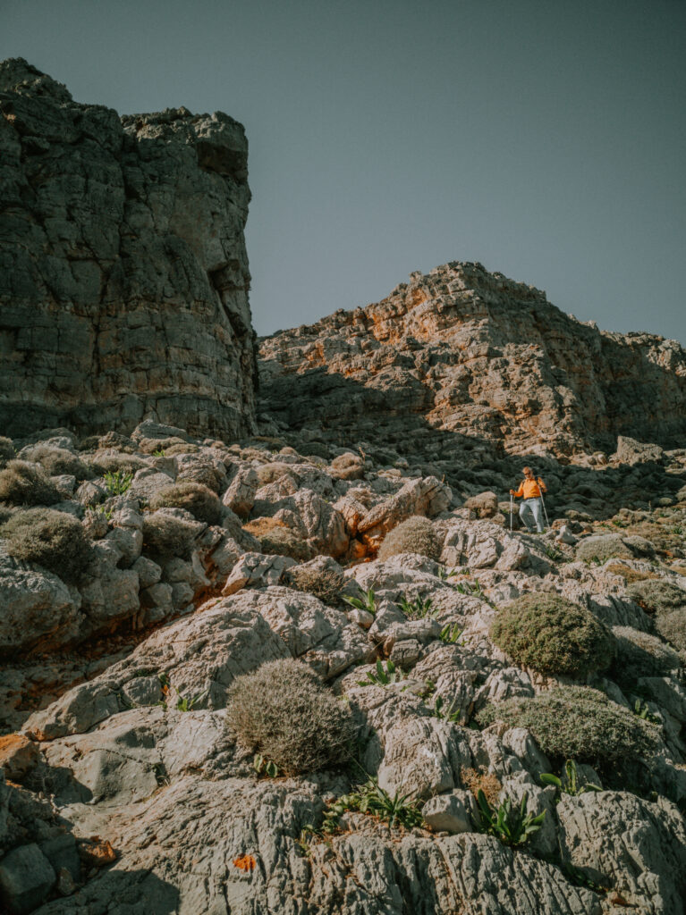
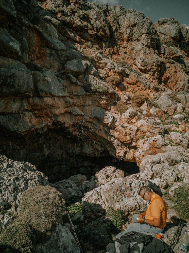
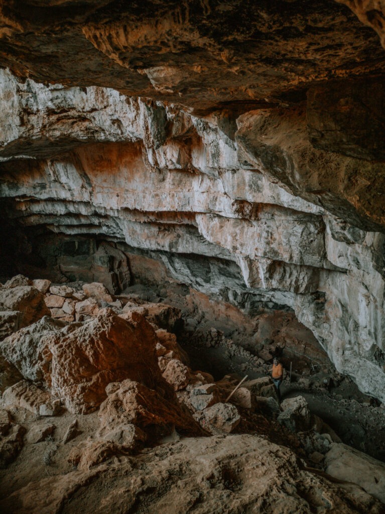
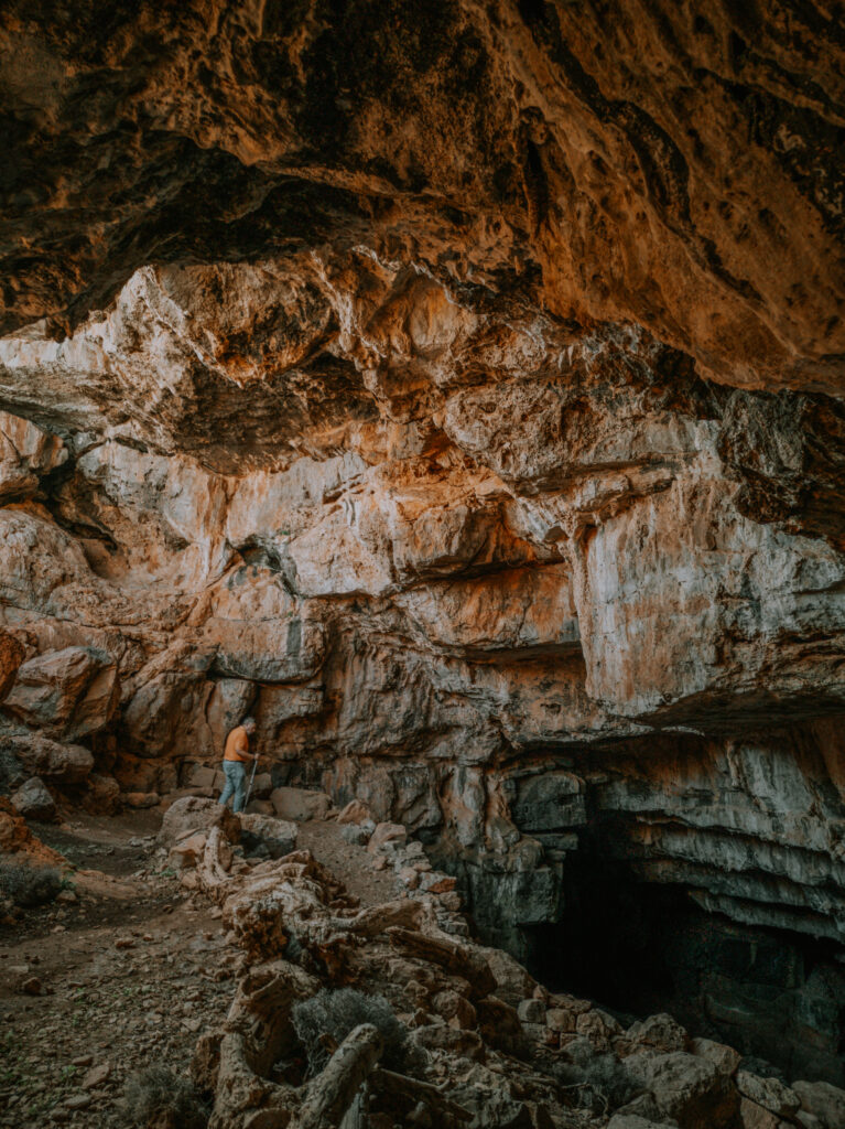
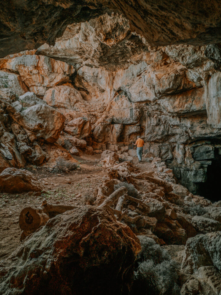
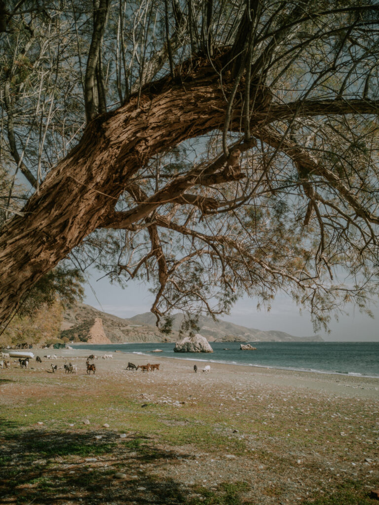
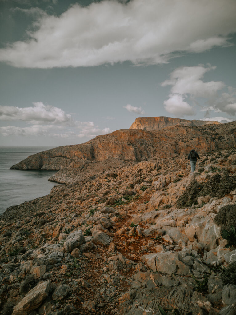
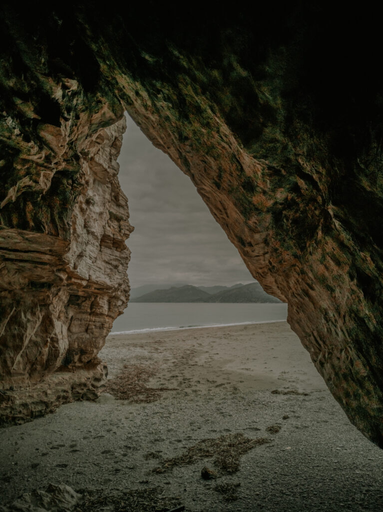
Am Donnerstag, den 20. Januar fahren wir weiter nach Kato Zakros und finden eine schönen Stellplatz oberhalb des Strandes auf einer Klippe mitten im Dorf (N 35° 05′ 55.30″, E 26° 15′ 8.90″). Da das Wetter schlechter werden soll, starten wir gleich nach unserer Ankunft die Wanderung zur Pelekita-Höhle. Eine sehr anspruchsvolle Wegstrecke durch felsiges Gelände immer entlang der Küstenlinie. Es ist eine der größten Höhlen auf Kreta, aber leider haben wir keine Taschenlampe mit, um tiefer in die Höhle vorzudringen.
On Thursday January 20th we continue to Kato Zakros and find a nice pitch above the beach on a cliff in the middle of the village (N 35° 05′ 55.30″, E 26° 15′ 48.90″). As the weather is supposed to get worse, we start hiking to Pelekita Cave as soon as we arrive. A very demanding route through rocky terrain always along the coastline. It is one of the largest caves in Crete, but unfortunately we didn’t have a flashlight to go deeper into the cave.
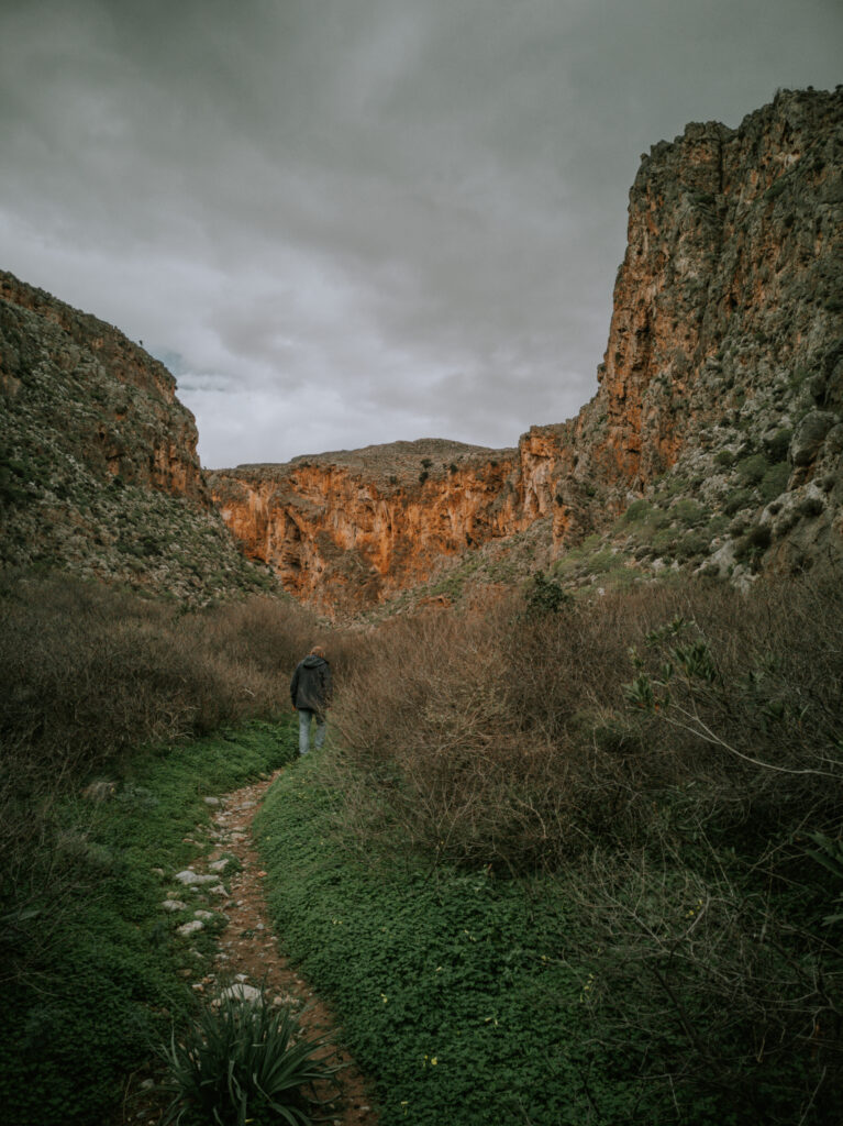
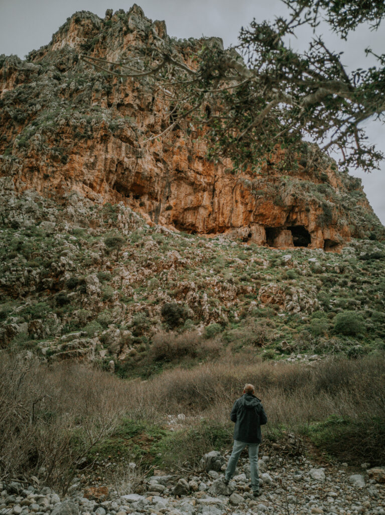
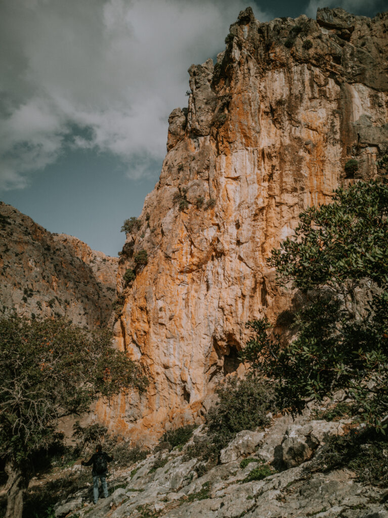
Am nächsten Tag ist das Wetter immer noch stabil. Obwohl noch etwas müde vom Vortag, nehmen wir die Wanderung durch die Schlucht der Toten in Angriff. Der Weg ist diesmal nicht so schwer zu gehen, aber auch diese Schlucht ist sehr spektakulär. Wir sind nach Stunden ohne Regen zurück und brauchen jetzt erstmal ein paar Tage Ruhe. Wir können also jetzt das schlechte Wetter im Wohnmobil verbringen.
The next day the weather is still stable. Although still a bit tired from the day before, we tackle the hike through the Gorge of the Dead. The path is not that difficult to walk this time, but this gorge is also very spectacular. We are back after four hours without rain and now we need a few days of rest. So now we can spend the bad weather in the mobile home.
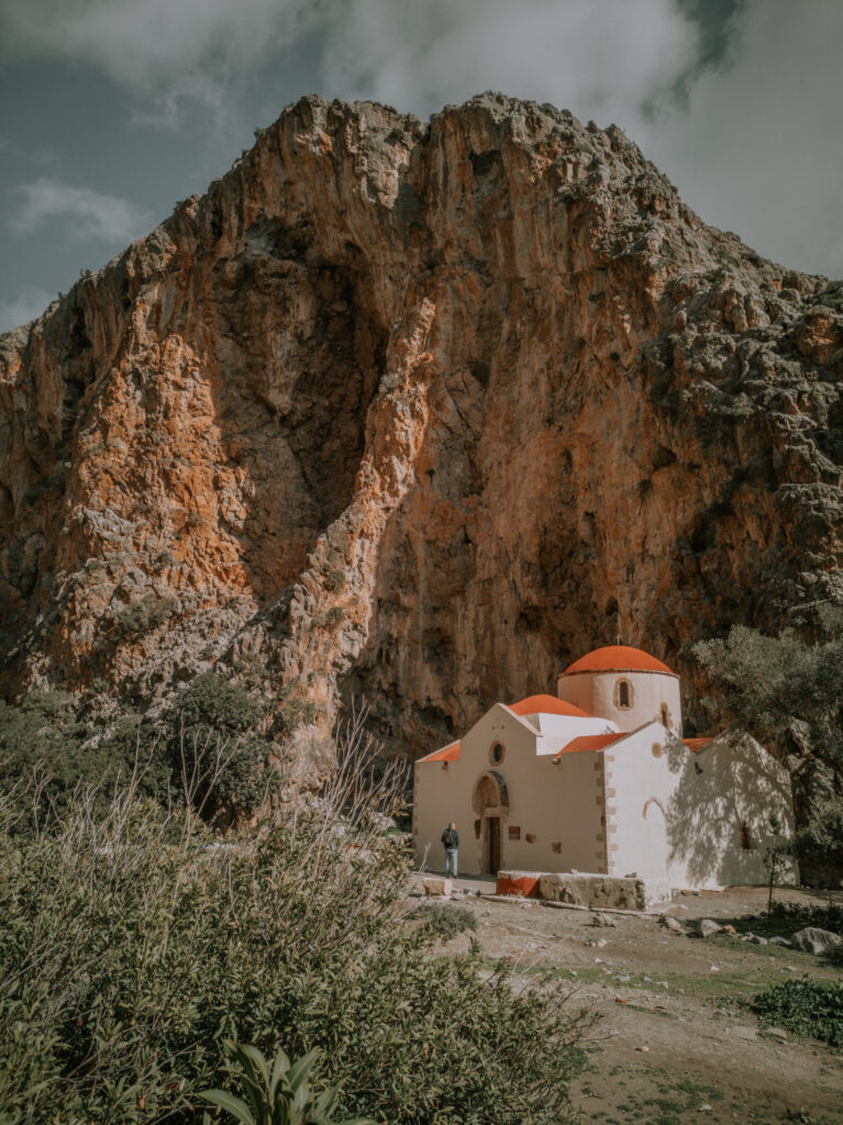
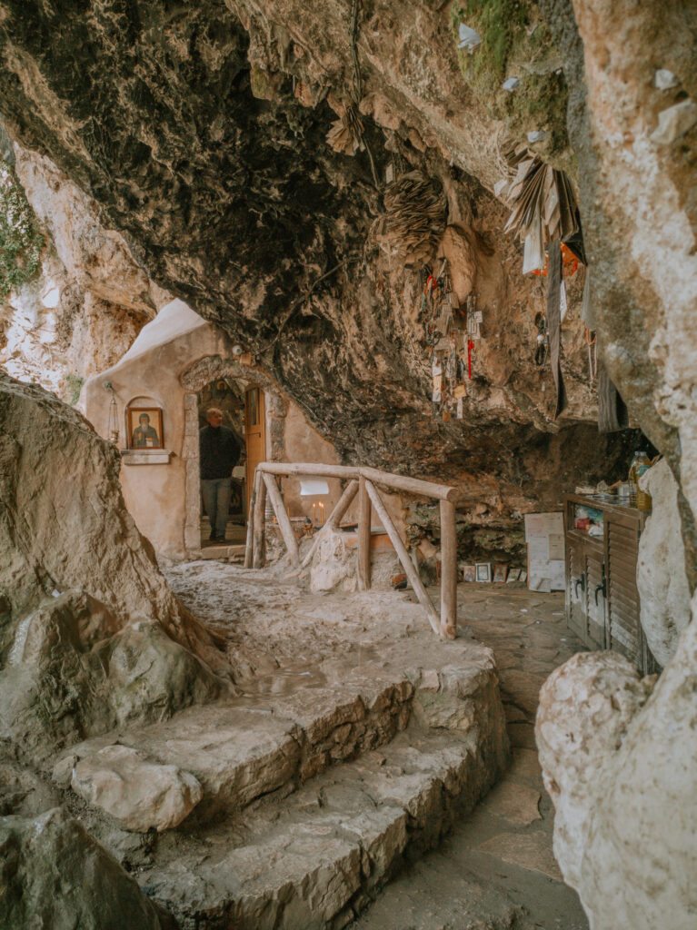
Am Montag, den 24. Januar fahren wir nach Sitia, um unsere Vorräte aufzufüllen und beim Gesundheitsamt (KEP) für Alwin einen Termin für die Boosterimpfung gegen Covid-19 zu erfragen. Die AMKA-Nummer für ihn hatten wir schon vor Weihnachten in Chania beantragt. Auf dem Weg von Kato Zakros nach Zakros füllen wir noch unsere Wasservorräte an einer Zapfstelle neben der Straße auf (N 35° 05′ 48.84″, E 26° 14′ 06.72″). In Sitia bekommen wir einen Impftermin für den nächsten Tag. Also brauchen wir einen Platz für die Nacht in der Nähe. Wir finden einen schönen Stellplatz unterhalb des Flugplatzes neben einer Kapelle einsam am Meer (N 35° 13′ 28.40″, E 26° 06′ 1.70″).
On Monday, January 24th, we are going to Sitia to replenish our supplies and to ask the health department (KEP) for an appointment for Alwin’s booster vaccination against Covid-19. We applied for the AMKA number for him in Chania before Christmas. On the way from Kato Zakros to Zakros we fill up our water supplies at a tap next to the road (N 35° 05′ 48.84″, E 26° 14′ 06.72″). In Sitia we get a vaccination appointment for the next day. So we need a place somewhere close by for the night. We find a nice parking space below the airfield next to a chapel by the sea (N 35° 13′ 28.40″, E 26° 06′ 1.70″).
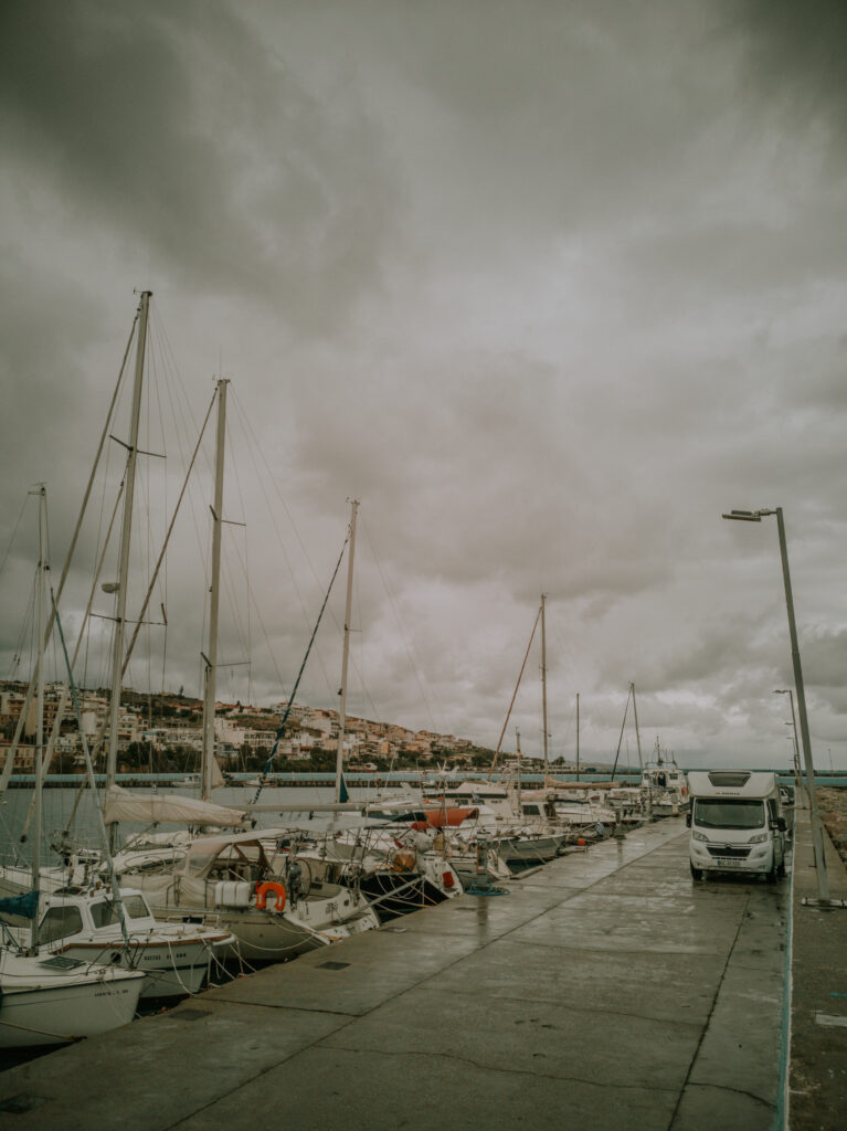
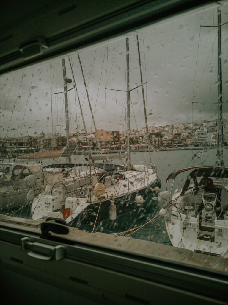
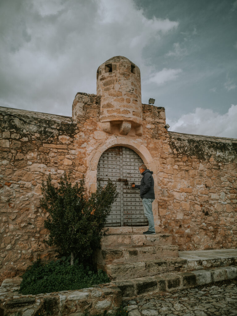
Am nächsten Tag fahren wir nach der Impfung vom Impfzentrum zur Ostmole des Hafens und stellen uns in die Mitte der Mole dicht an die Mauer (N 35° 12′ 25.60″, E 26° 06′ 33.20″). Hinter den Segelyachten sind wir von den Hafentavernen aus auf der anderen Hafenseite kaum zusehen. Man ist mitten in der Stadt und hat einen super Rundumblick. In einer Regenpause laufen wir hoch zur Festung. Leider war sie verschlossen. Hier im Hafen werden wir auch die Nacht verbringen.
The next day, after the vaccination, we drive from the vaccination center to the east pier of the port and stand in the middle of the pier close to the wall (N 35° 12′ 25.60″, E 26° 06′ 33.20″). Behind the sailing yachts we can hardly be seen from the harbor taverns on the other side of the harbour. You are in the middle of the city and have a great all-round view. In a rain break we walk up to the fortress. Unfortunately it was locked. Here in the harbor we will also spend the night.
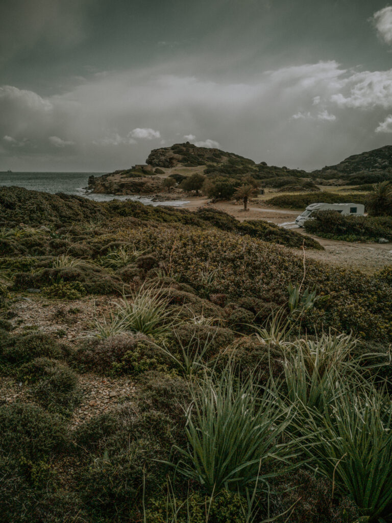
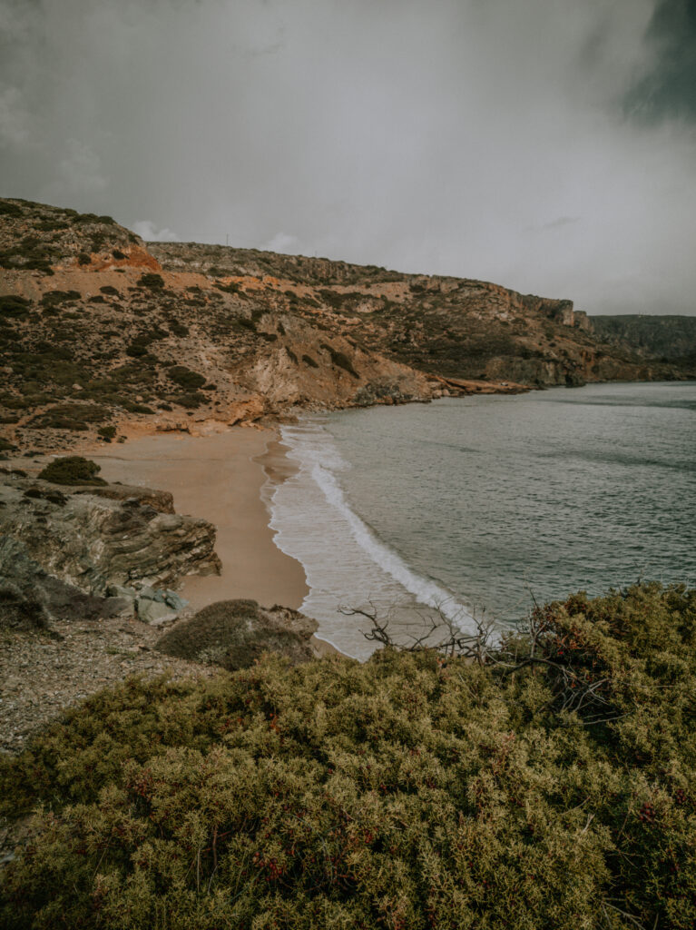
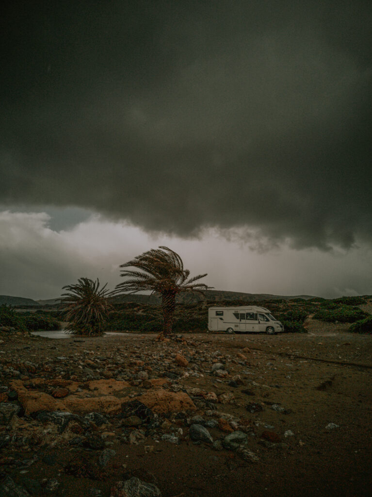
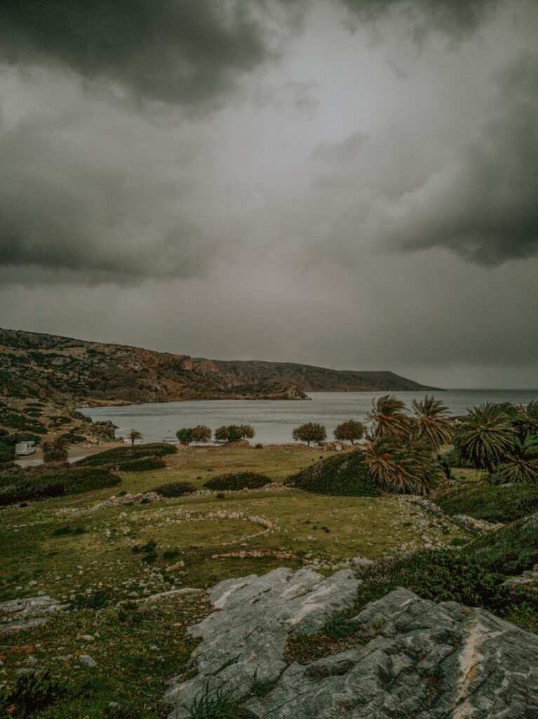
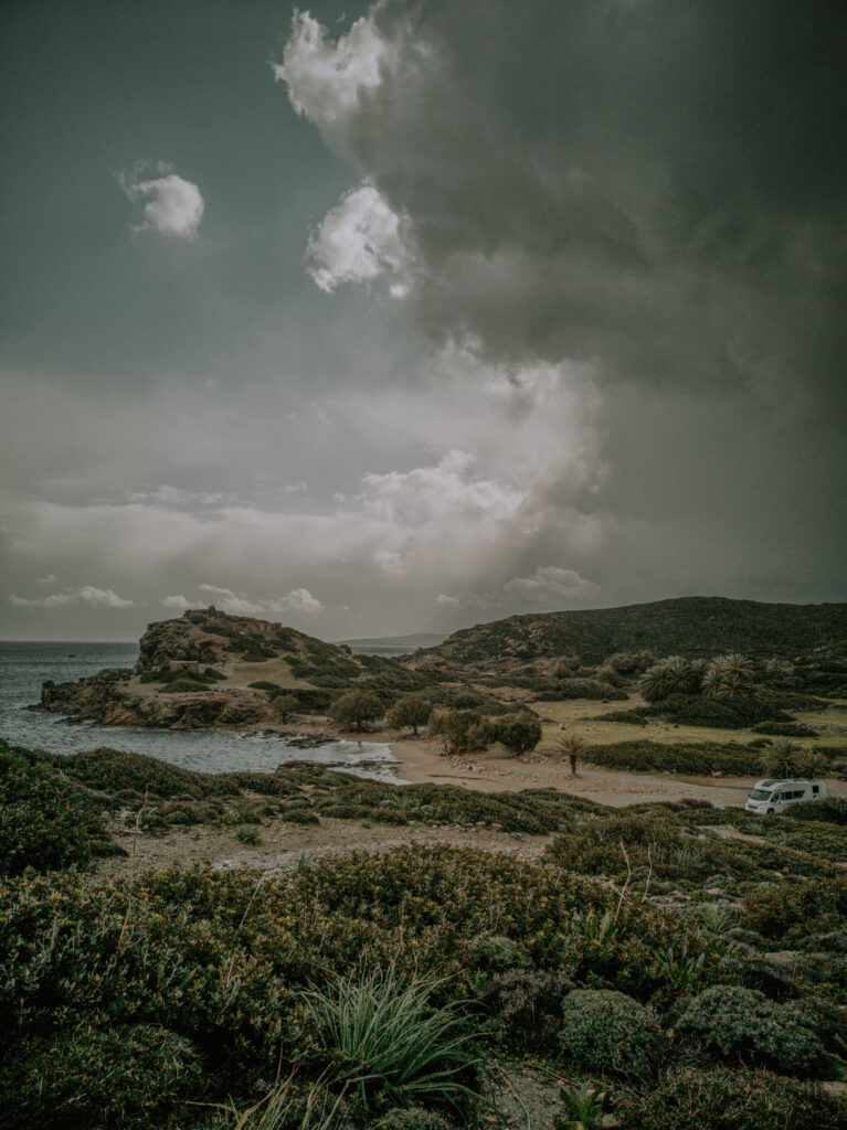
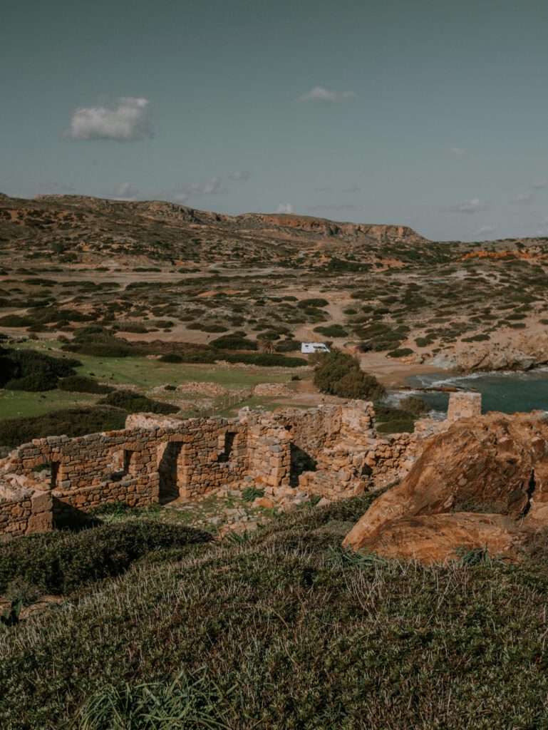
Am Mittwoch früh wollen wir das Impfzertiikat vom Amt abholen, aber das Büro ist, wie alle Institutionen wegen des Extremwetters geschlossen. So frischen wir im Supermarkt unsere Lebensmittelvorräte auf und fahren in den äußersten Osten der Insel nach Ithanos und zum Palmenstrand bei Vai. Hier finden wir ein von den Windböen geschütztes Fleckchen neben der Ausgrabungsstätte von Ithanos direkt am Strand (N 35° 15′ 52.60″, E 26° 15′ 46.20″).
We want to pick up the vaccination certificate from the office on Wednesday morning, but the office, like all institutions, is closed due to the extreme weather. So we freshen up our food supplies in the supermarket and drive to the extreme east of the island to Ithanos and the palm beach near Vai. Here we find a spot sheltered from the gusts of wind next to the archaeological site of Ithanos, right on the beach (N 35° 15′ 52.60″, E 26° 15′ 46.20″).
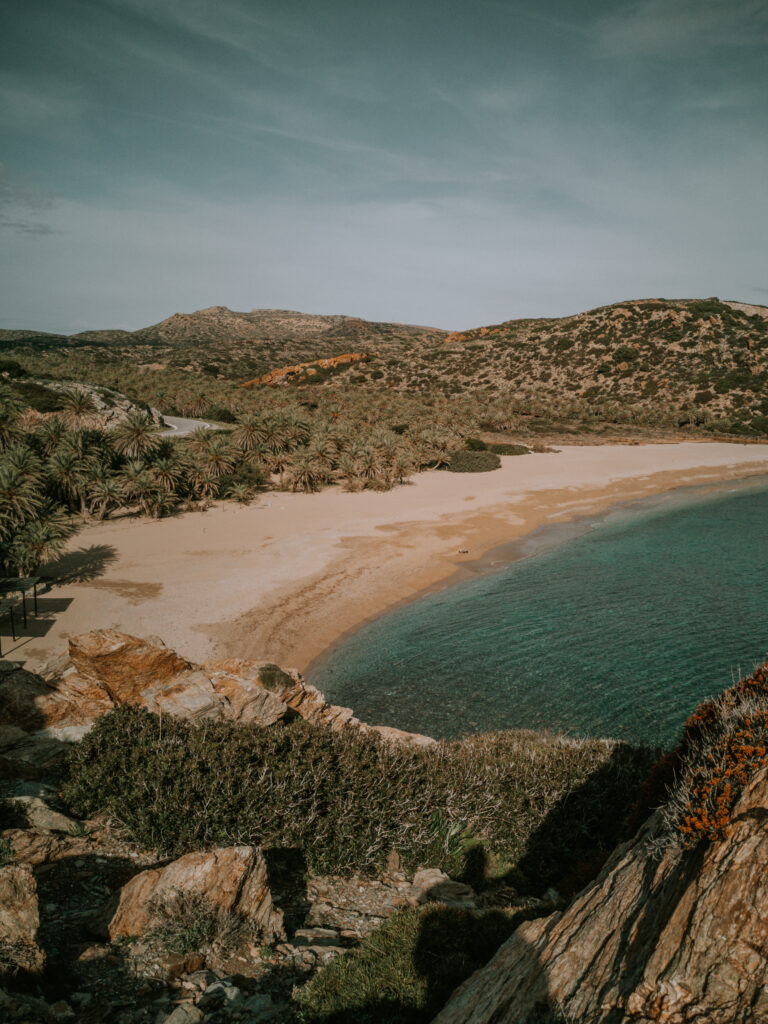
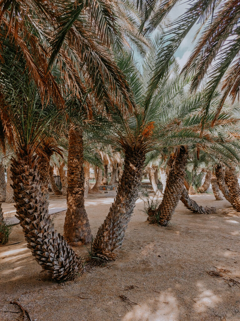
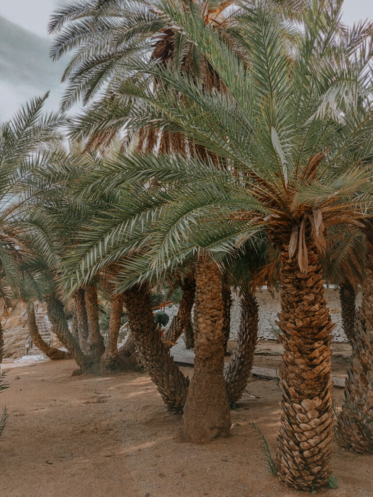
Hier gefällt es uns besonders gut. Wir wandern in den Regenpausen jeden Tag, schwimmen und besichtigen die Ausgrabungen. Der berühmte Palmenstrand von Vai ist nur 2 Km entfernt und über eine anspruchsvolle Wanderung über die Berge leicht zu erreichen. Hinter dem Palmenstrand befindet sich ein FKK-Strand, den wir zum Schwimmen nutzen.
We particularly like it here. We hike every day during the rain breaks, swim and visit the excavations. The famous palm beach of Vai is only 2 km away and easily accessible via a challenging hike over the mountains. Behind the palm beach is a nudist beach that we use for swimming.
Dieser Platz gefällt auch anderen Wohnmobilfahrern gut. Jeden Tag kommen neue Wohnmobile hinzu, und der Platz wird langsam voll. So beschließen wir am Sonntag etwas südlicher in Paleocastro an der Dorfquelle (N 35° 11′ 55.96, E 26° 15′ 5.30) unsere Wasservorräte aufzufüllen und dann zum Strand von Chiona zu fahren. Hier finden wir einen sehr schönen Platz für uns allein mit einem super Ausblick (N 35° 11′ 46.60″, E 26° 16′ 38.70″).
Other camper drivers also like this place. New mobile homes are added every day and the place is slowly filling up. So on Sunday we decide to fill up our water supplies a little further south in Paleocastro at the village spring (N 35° 11′ 55.96, E 26° 15′ 5.30) and then drive to the beach of Chiona. Here we find a very nice place for ourselves with a great view (N 35° 11′ 46.60″, E 26° 16′ 38.70″).
Am Dienstag morgen wollen wir sehr zeitig zum Bauernmarkt nach Sitia aufbrechen. Aber daraus wird erstmal nichts. Wir haben uns im dritten Jahr unseres Camperlebens das erste Mal so richtig fest gefahren. Der Boden hier im Feuchtgebiet hat durch den starken Regen nachgegeben. Außerdem wirkt die rote Tonerde wie Schmierseife. Wir haben aber großes Glück! Ein vorbeifahrendes Baufahrzeug mit Ladekran zieht uns sehr schonend aus dem Schlamassel. So kommen wir ungefähr eine Stunde später zum Markt. Dort kaufen wir wieder frisches Gemüse, Obst und Käse ein und holen den Rest aus dem Supermarkt. Nach dem Mittagessen fahren wir zum Parkplatz am Eingang der Richtis-Schlucht, der direkt an der Hauptstraße liegt (N 35° 09′ 50.90″, E 25° 59′ 20.50″). Nicht der beste Platz zum Übernachten, aber nachts ist auf der Straße kein Verkehr. Am nächsten Morgen steigen wir von hier aus in die Richtis-Schlucht ein.
On Tuesday morning we want to leave very early for the farmer’s market in Sitia. But nothing will come of it for now. We got really stuck for the first time in the third year of our camper life. The ground here in the wetland has given way due to the heavy rain. In addition, the red clay acts like soft soap. But we are very lucky! A passing construction vehicle with a loading crane pulls us very gently out of the mess. So we get to the market about an hour later. There we buy fresh vegetables, fruit and cheese again and get the rest from the supermarket. After lunch we drive to the car park at the entrance of the Richtis Gorge, which is just off the main road (N 35° 09′ 50.90″, E 25° 59′ 20.50″). Not the best place to stay but there is no traffic on the street at night. The next morning we climb the Richtis Gorge from here.
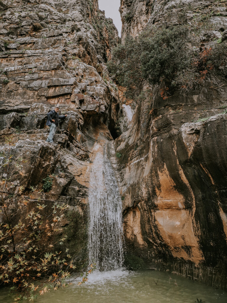
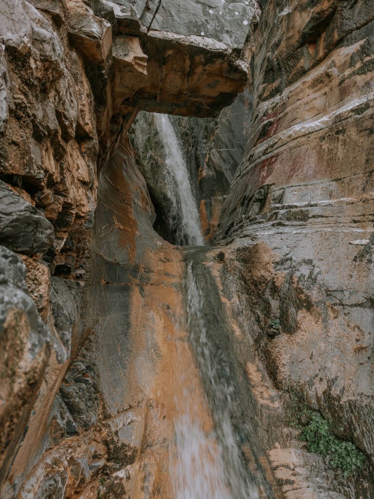
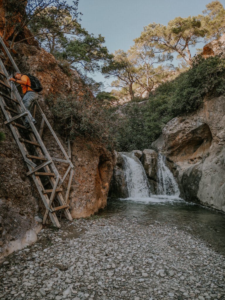
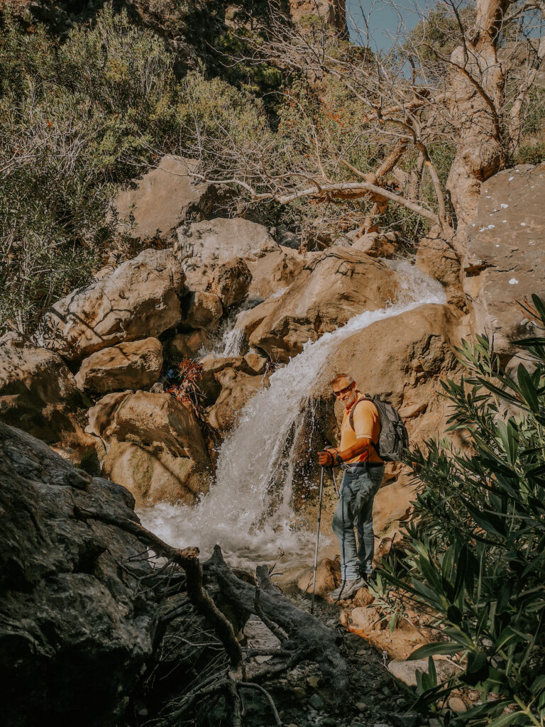
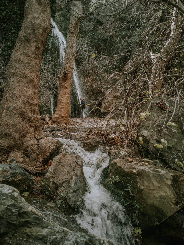
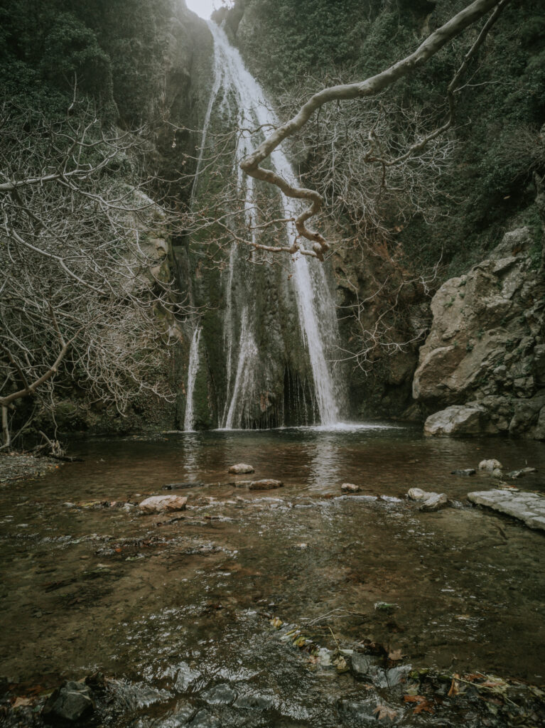
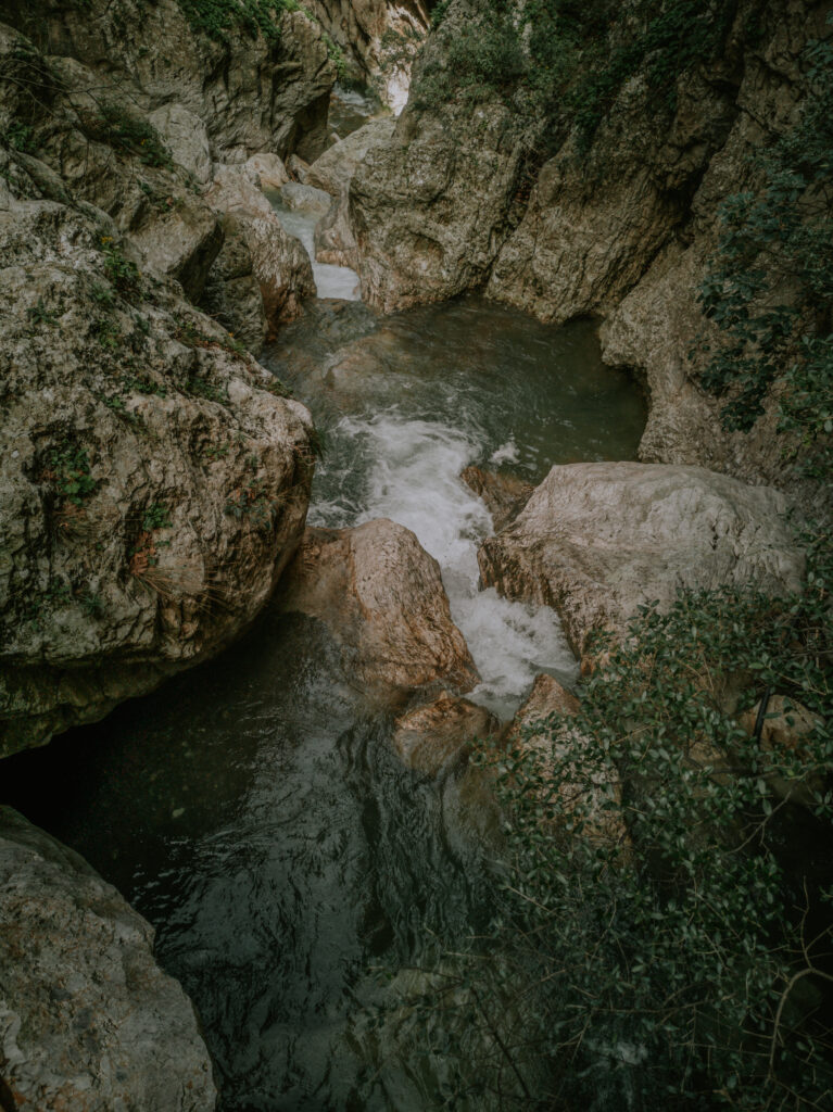
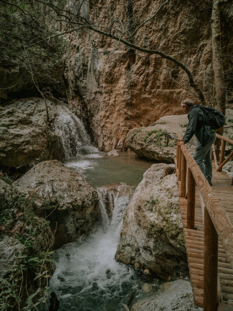
Die Richtis-Schlucht ist eine der schönsten und anspruchsvollsten Schluchten, die wir bis jetzt durchwandert haben. Wir rasten am spektakulären Wasserfall und laufen danach hinunter bis zum Strand. Da unsere Beine bereits etwas wackelig sind, entschließen wir uns für den einfacheren, aber längeren Rückweg über die Straße. Wir werden durch die grandiosen Ausblicke entschädigt und können die letzten drei Kilometer mit einem Auto mitfahren. Am Wohnmobil angekommen, sind wir völlig erschöpft. Trotzdem entschließen wir uns sofort nach Mochlos an den Strand zu fahren. Wir stellen uns auf den kostenlosen Parkplatz neben dem Ort direkt am Strand (N 35° 11′ 03.1″, E 25° 54′ 11.15″) und verbringen dort eine absolut ruhige Nacht ganz für uns allein.
The Richtis Gorge is one of the most beautiful and challenging gorges we have hiked through so far. We rest at the spectacular waterfall and then walk down to the beach. Since our legs are already a bit shaky, we decide to take the easier but longer way back by road. We are compensated by the magnificent views and can ride the last three kilometers with a car. Arrived at the mobile home we are completely exhausted. Nevertheless, we decide to go straight to the beach in Mochlos. We park in the free parking lot next to the village directly on the beach (N 35° 11′ 03.1″, E 25° 54′ 11.15″) and spend an absolutely quiet night there all to ourselves.
Am nächsten Tag besichtigen wir Mochlos, das im Winter menschenleer ist, und fahren danach wieder einmal nach Ierapetra an die Südküste, weil besonders starker Nordwind angesagt ist. Hier auf unserem bereits bekannten Stellplatz neben den kleinen Hafenbecken wollen wir uns von den Strapazen der vergangenen Tage ausruhen und am Samstag erneut auf dem Bauernmarkt unsere Vorräte aufstocken. In der ersten Nacht werden wir von den Sturmböen wieder mächtig durchgeschüttelt.
The next day we visit Mochlos, which is deserted in winter, and then we drive again to Ierapetra on the south coast, because the north wind is particularly strong. Here on our well-known parking space next to the small harbor basin, we want to rest from the exertions of the past few days and stock up on supplies again at the farmers‘ market on Saturday. In the first night we are again shaken by the gusts of wind.
Am Samstag, den 5. Februar fahren wir sehr zeitig zum Bauernmarkt in Ierapetra und danach gleich zum Parkplatz am Eingang der Sarafina-Schlucht oberhalb von Myrtos (N 35° 02′ 5.30″, E 25° 34′ 44.50″). Von dort aus brechen wir voller Elan auf, die Schlucht zu durchklettern. Leider kommen wir nicht sehr weit. Der Fluß führt zuviel Wasser. Schon kurz nach dem Eingang müssen wir umkehren.
On Saturday February 5th we drive very early to the farmers market in Ierapetra and then straight to the car park at the entrance of the Sarafina Gorge above Myrtos (N 35° 02′ 5.30″, E 25° 34′ 44.50″). From there we set off full of energy to climb through the gorge. Unfortunately we don’t get very far. The river carries too much water. Shortly after the entrance we have to turn back.
Wir versuchen es, von oben in die Schlucht zu klettern. Dazu gehen wir die Straße entlang bis zum oberen Eingang der Schlucht. Aber auch hier ist nach einigen hundert Metern Schluß. Wir müssen es einsehen, das die Schlucht im Winter nach langen Regenfällen nicht begehbar ist. Trotzdem genießen wir die atemberaubende Landschaft. Nach einem Picknick gehen wir wieder hinunter zu unserem Wohnmobil und fahren nach Myrtos zum Strand.
We try to climb into the gorge from above. To do this, we walk along the road to the upper entrance of the gorge. But here, too, it’s over after a few hundred meters. We have to accept that the gorge is not accessible in winter after long periods of rain. Nevertheless, we enjoy the breathtaking landscape. After a picnic we go back down to our motorhome and drive to Myrtos to the beach.
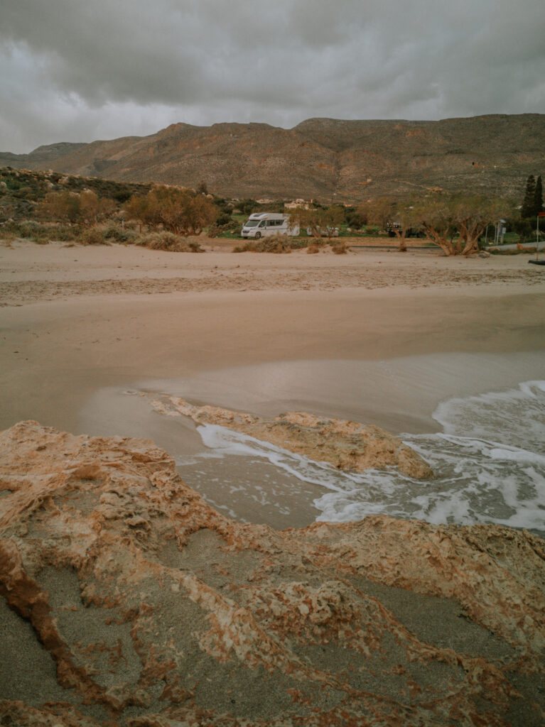
Mit einem Wohnmobil unserer Größe durch Myrtos zu fahren, ist eine echte Herausforderung. Die Straßen sind extrem schmal und zugeparkt mit Autos. Mit eingeklappten Spiegeln schaffen wir es durch den Ort an unseren Stellplatz am Strand zu kommen (N 35° 00′ 08.90″, E 25° 34′ 45.30″). Hier erwartet uns ein breiter Sandstrand mit funktionierenden Strandduschen. Ein idealer Platz für das Wochenende zum Erholen.
Driving through Myrtos with a motorhome of our size is a real challenge. The streets are extremely narrow and parked with cars. With the mirrors folded in, we manage to get through the village to our pitch on the beach (N 35° 00′ 08.90″, E 25° 34′ 45.30″). A wide sandy beach with working beach showers awaits us here. An ideal place for the weekend to relax.
Am Montag fahren wir weiter die Südküste entlang nach Tsoutsouras. In Kato Kastelliana befindet sich fast an der Abbiegung nach Tsoutsouras ein öffentlicher Trinkwasserbrunnen (N 35° 02′ 02.5″, E 25° 15′ 55.11″), an dem wir wieder bestes Trinkwasser bunkern. Danach fahren wir die atemberaubende Straße hinunter nach Tsoutsouras zu einem beliebten Stellplatz direkt an den Strand (N 34° 59′ 09.59″, E 25° 17′ 49.91″).
On Monday we continue along the south coast to Tsoutsouras. In Kato Kastelliana there is a public drinking water fountain (N 35° 02′ 02.5″, E 25° 15′ 55.11″), almost at the turn to Tsoutsouras, where we again stock up on the best drinking water. We then drive down the stunning Tsoutsouras road to a popular beachfront spot (N 34° 59′ 09.59″, E 25° 17′ 49.91″).
Leider ist durch den starken Südwestwind die Brandung sehr laut. Schwimmen ist nicht möglich, und der Nachtschlaf ist auch gestört. So fahren wir am nächsten Morgen weiter nach Kaloi Limenes. Eine abenteuerliche Straße hoch, dann durch die Mesara Ebene und die nächste abenteuerliche Straße wieder hinunter ans Meer. Wir finden einen sehr geschützten Ort direkt am Strand, aber ohne laute Brandung (N 34° 56′ 04.52″, E 24° 48′ 20.51″). Von hier aus wollen wir zur Agiofaraggo-Schlucht wandern.
Unfortunately, the surf is very loud due to the strong south-west wind. Swimming is not possible, and night sleep is also disturbed. So the next morning we continue to Kaloi Limenes. One adventurous road up, then through the Mesara Plains and the next adventurous road back down to the sea. We find a very sheltered spot right on the beach but without noisy surf (N 34° 56′ 04.52″, E 24° 48′ 20.51″). From here we want to hike to the Agiofaraggo Gorge.
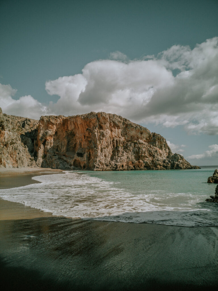
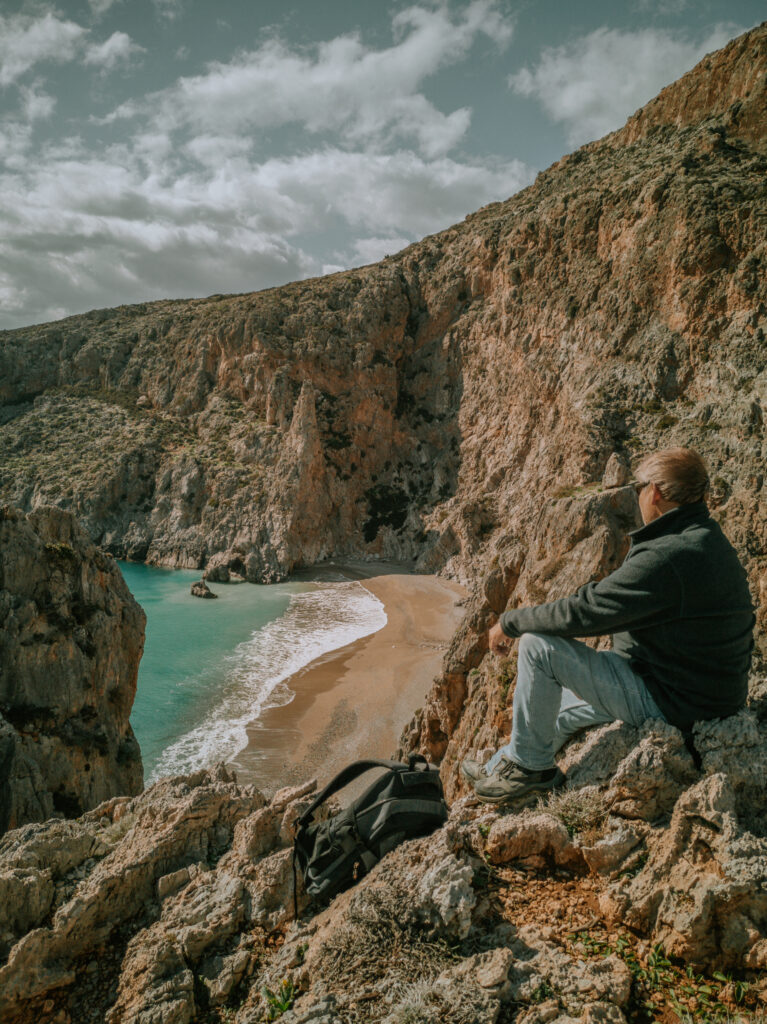
Am nächsten Tag brechen wir zeitig auf zur Wanderung. Schon der Weg über die Berge zum unteren Eingang der Agiofaraggo-Schlucht ist sehr abenteuerlich und führt durch eine atemberaubende Landschaft. Die Schlucht ist einfach zu begehen und nicht sehr lang, aber trotzdem lohnenswert. Wir laufen bis zum oberen Eingang und danach zurück bis an den Strand. Der Strand ist einer der schönsten Strände Kretas. Zurück im Wohnmobil sind wir total erschöpft, aber glücklich. Den Abschluß bildet ein eiskaltes Bad im Meer.
The next day we start our hike early. Even the way over the mountains to the lower entrance of the Agiofaraggo Gorge is very adventurous and leads through a breathtaking landscape. The gorge is easy to walk and not very long, but still worthwhile. We walk to the upper entrance and then back to the beach. The beach is one of the most beautiful beaches in Crete. Back in the camper we are totally exhausted but happy. The conclusion is an ice-cold bath in the sea.
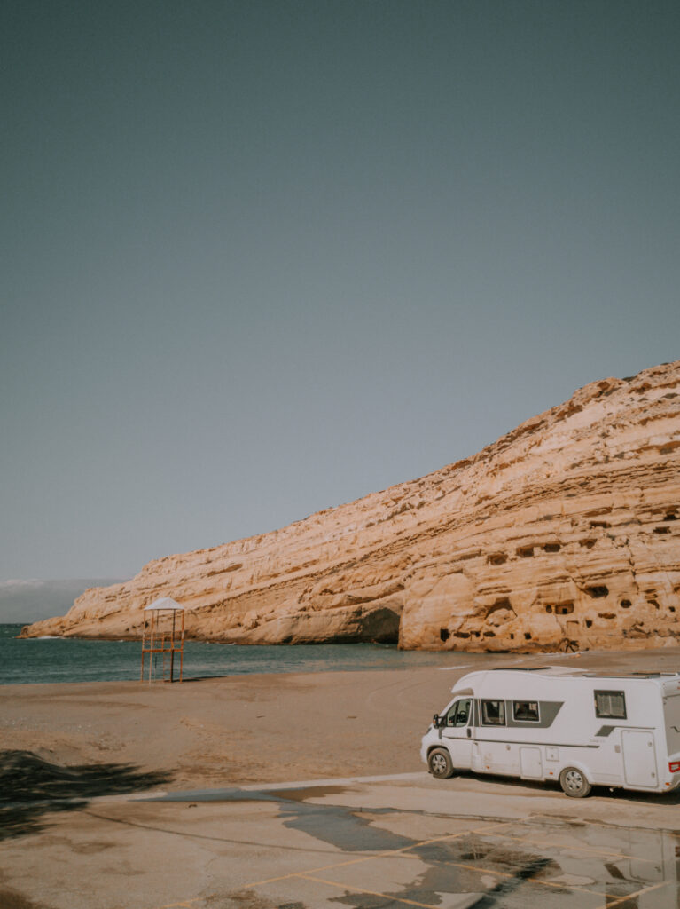
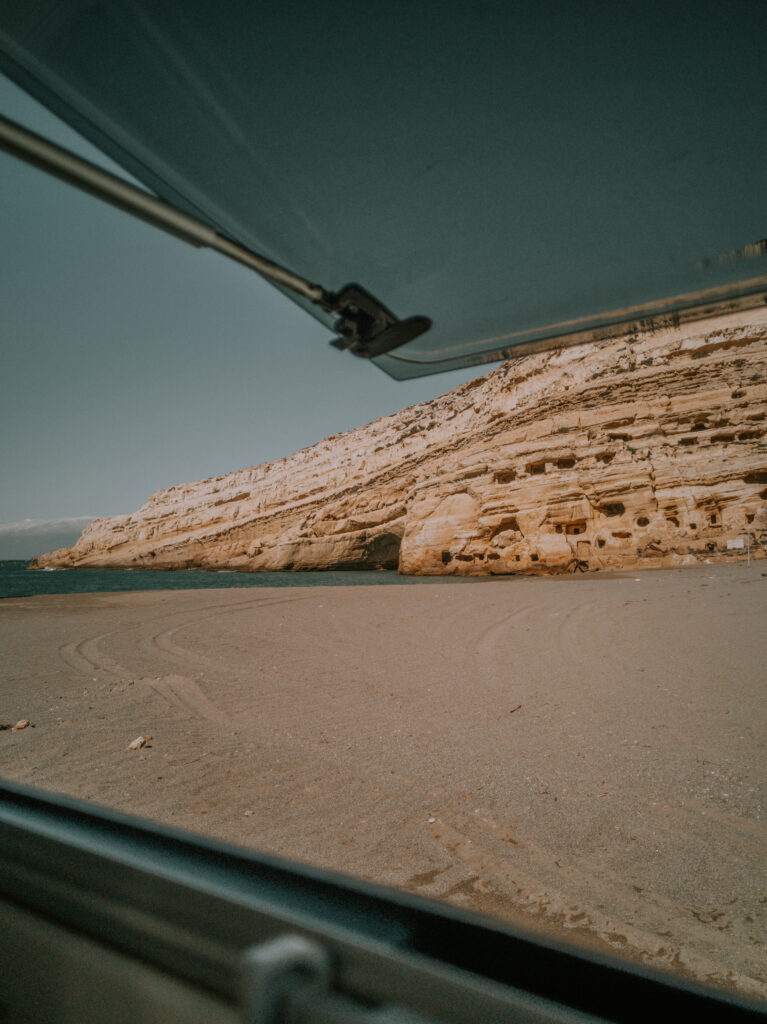
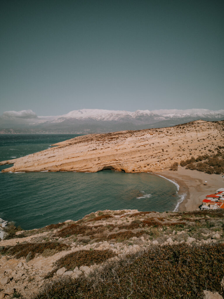
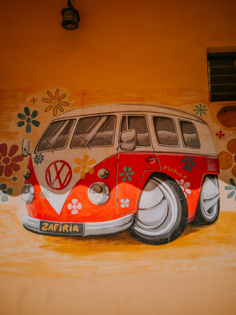
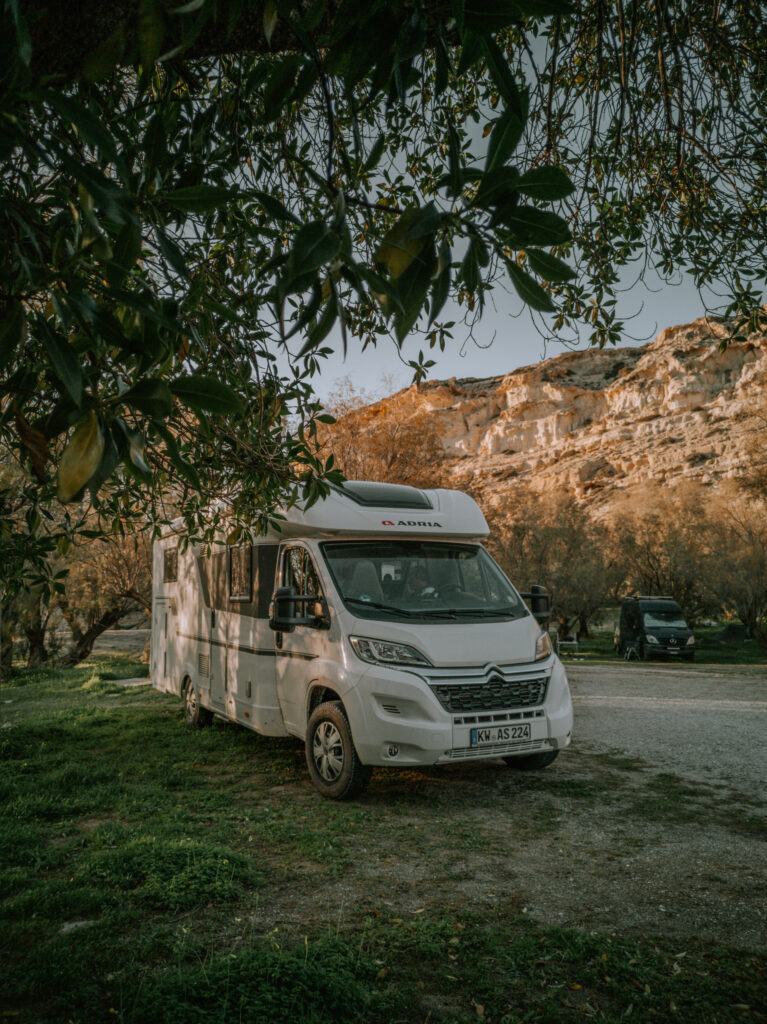
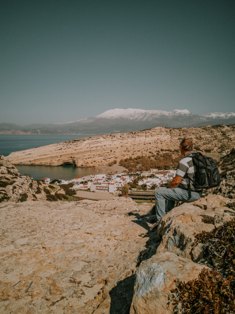
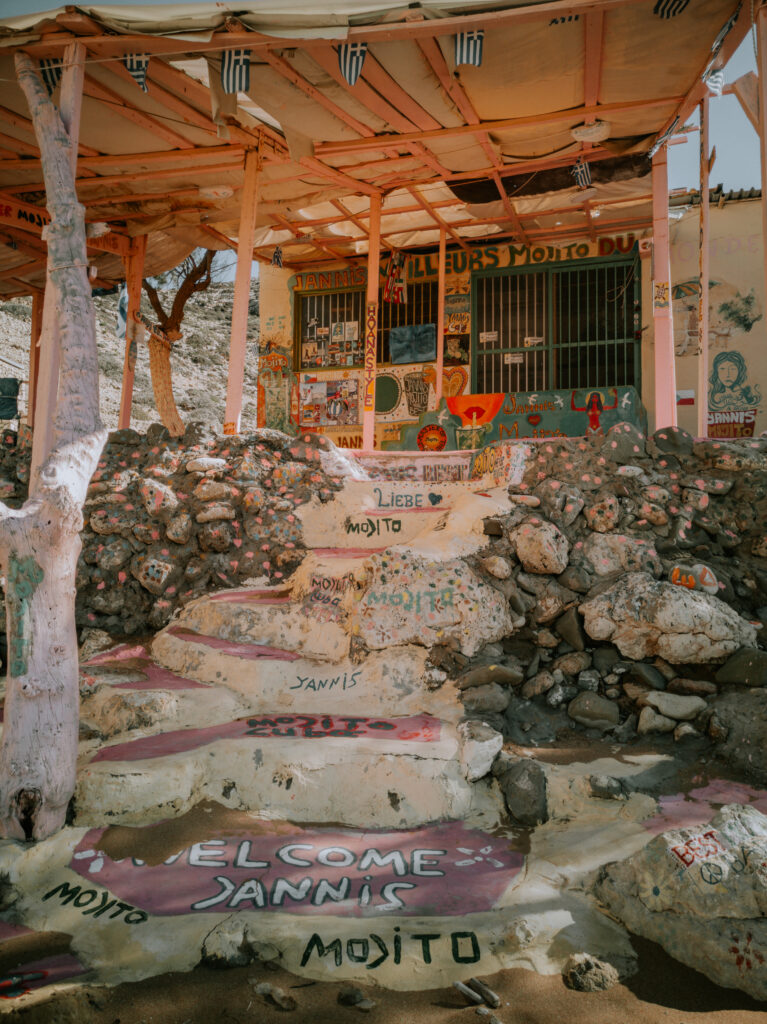
Am Donnerstag fahren wir zur ehemaligen Hippie Hochburg nach Matala. Hier befindet sich ein Campingplatz, der im Winter eigentlich geschlossen ist (N 34° 59′ 39.84″, E 24° 45′ 05.39″) . Trotzdem kann man hier mit dem Wohnmobil stehen. Die alten römischen Grabhöhlen wurden in den 60er und 70er Jahren von Hippies entdeckt und bewohnt, bis sie von hier vertrieben wurden.
On Thursday we drive to the former hippie stronghold of Matala. There is a campsite here that is actually closed in winter (N 34° 59′ 39.84″, E 24° 45′ 05.39″). Nevertheless, you can stand here with the mobile home. The old Roman burial caves were discovered and inhabited by hippies in the 60s and 70s until they were driven from here.
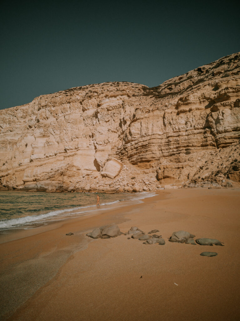
Am nächsten Tag wandern wir über den Berg zum Red Beach, dem Fkk–Strand von Matala. Am Vormittag haben wir den ganzen Strand für uns allein. Es ist windstill und schon sehr warm. Wir sonnen uns und schwimmen. Das ist Balsam für die Seele. Danach geht es wieder zurück zum Campingplatz.
The next day we hike over the mountain to Red Beach, Matala’s naturist beach. In the morning we have the whole beach to ourselves. It is windless and already very warm. We sunbathe and swim. This is balm for the soul. Then we hike back to the campsite.
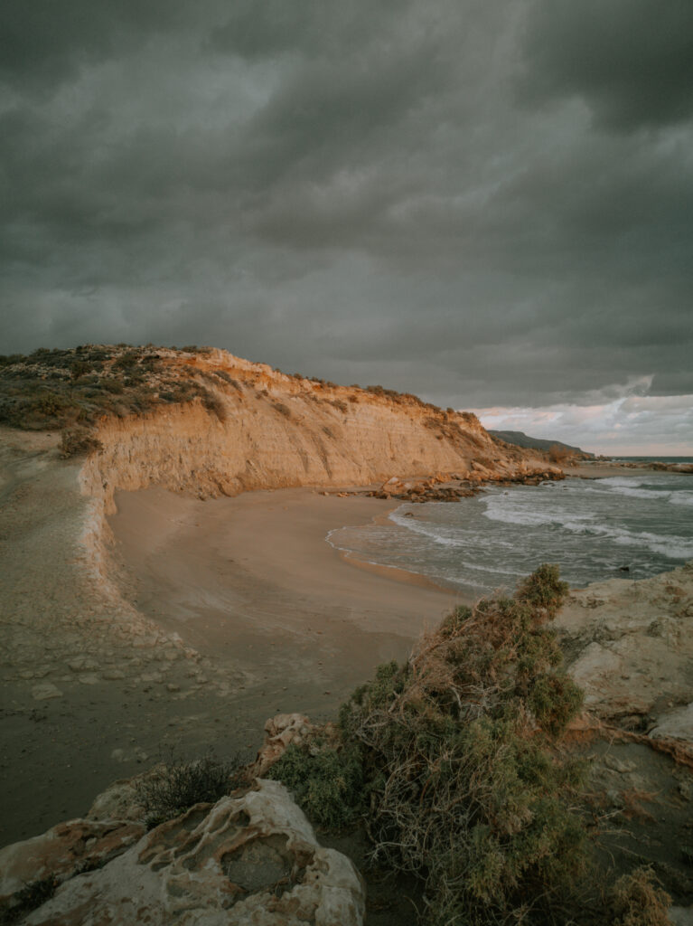
Am Nachmittag fahren wir dann nur kurz um die Ecke zum Kommos-Beach. Hier steht man etwas erhöht auf der Klippe und hat einen hervorragenden Blick auf den Strand und den Sonnenuntergang (N 35° 00′ 45.08″, E 24° 45′ 37.63″).
In the afternoon we drive just around the corner to Kommos Beach. Here you stand a little higher on the cliff and have an excellent view of the beach and the sunset (N 35° 00′ 45.08″, E 24° 45′ 37.63″).
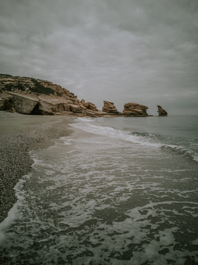
Da der Kommos-Strand am Wochenende gern von den Einheimischen besucht wird, wollen wir nicht stören und fahren deshalb weiter in Richtung Westen nach Triapetra. Dieser Strand liegt etwas weiter entfernt von der Hauptstraße und ist sehr breit und lang. Hier suchen wir uns einen einsamen Platz (N 35° 07′ 21.90″, E 24° 32′ 40.70″).
Since the locals like to visit the Kommos beach on weekends, we don’t want to disturb them and therefore we continue west to Triapetra. This beach is a bit further away from the main road and is very wide and long. Here we look for a lonely place (N 35° 07′ 21.90″, E 24° 32′ 40.70″).
Wir wandern, schwimmen und duschen am Wasseranschluß neben der Straße. Am Dienstag früh füllen wir unsere Wasservorräte auf und fahren über Spili zum Parkplatz am oberen Eingang zur Agio Antonios-Schlucht (N 35° 15′ 14.50″, E 24° 34′ 12.90″). Am nächsten Tag bewandern wir die Schlucht. Es ist mehr klettern, als wandern. An beiden Seiten des Flusses kommen wir irgendwann nicht mehr weiter.
We hike, swim and shower at the water tap next to the road. On Tuesday morning we fill up our water supplies and drive via Spili to the parking lot at the upper entrance to Agio Antonios Gorge (N 35° 15′ 14.50″, E 24° 34′ 12.90″). The next day we hike the gorge. It’s more climbing than hiking. At some point we can’t get any further on either side of the river.
Wir gehen zurück zum Wohnmobil und beschließen über Rethymno nach Georgioupoli zu unserem bereits bekannten Platz am Hafen zu fahren. Unterwegs tanken wir und kaufen beim Lidl in Rethymno ein. In Georgioupoli nehmen wir noch ein kaltes Bad am Strand und verbringen eine ruhige Nacht.
We go back to the mobile home and decide to drive to Georgioupolis via Rethymno to our already known place at the port. On the way we fill up and shop at Lidl in Rethymno. In Georgioupolis we take a cold bath on the beach and spend a quiet night.
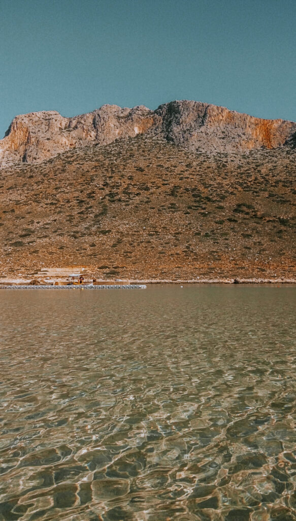
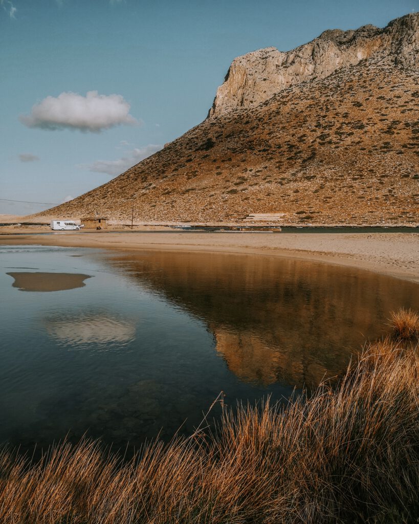
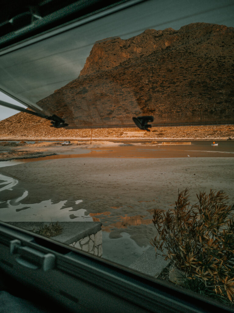
Am Donnerstag ist Regen angesagt. Wir nutzen den Tag und fahren in den Norden der Halbinsel Akrotiri zu unserem Lieblingsplatz nach Stavros (N 35° 35′ 31.90″, E 24° 05′ 41.80″). Hier ist einer der besten Strände mit türkisblauem Wasser zum Schwimmen. Außerdem ist die Aussicht vom Wohnmobil perfekt.
Rain is forecast for Thursday. We use the day and drive to the north of the Akrotiri peninsula to our favorite place in Stavros (N 35° 35′ 31.90″, E 24° 05′ 41.80″). Here is one of the best beaches with turquoise water for swimming. In addition, the view from the motorhome is perfect.
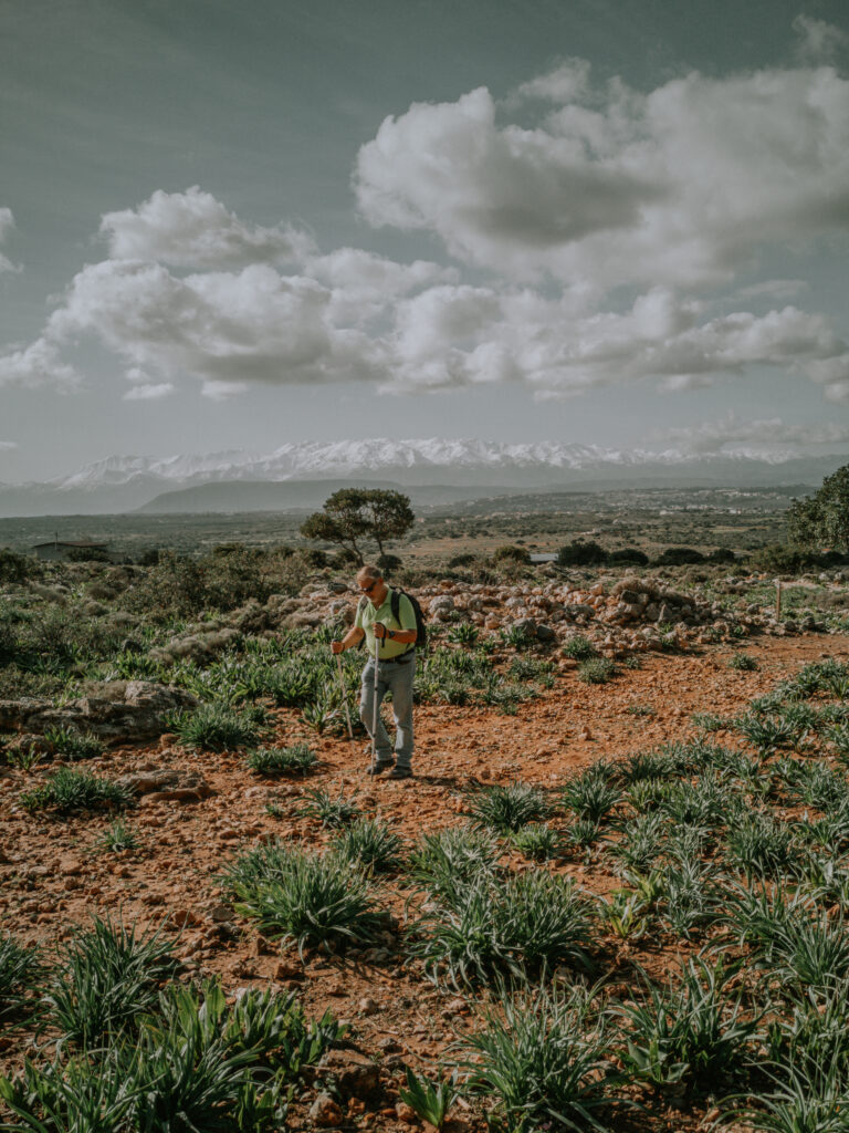
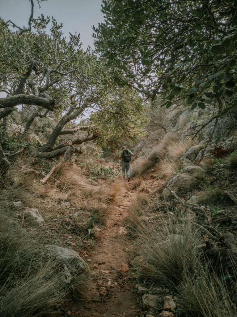
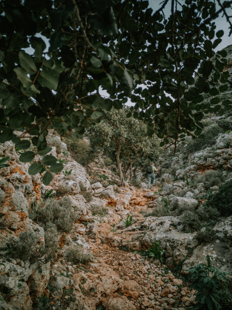
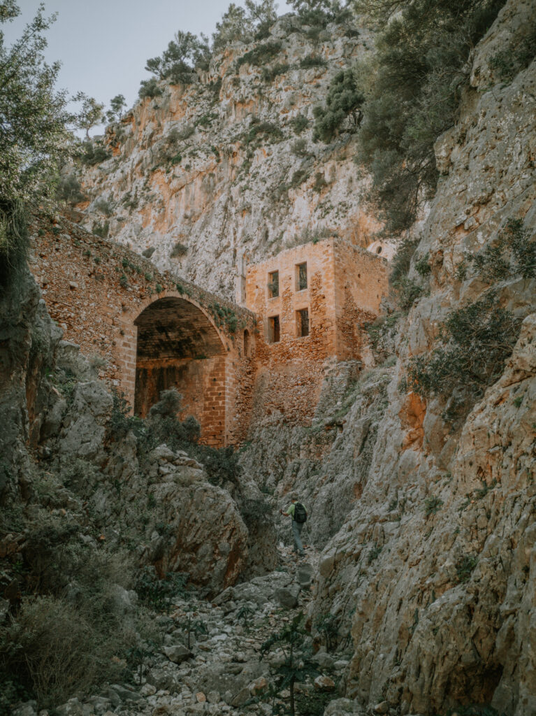
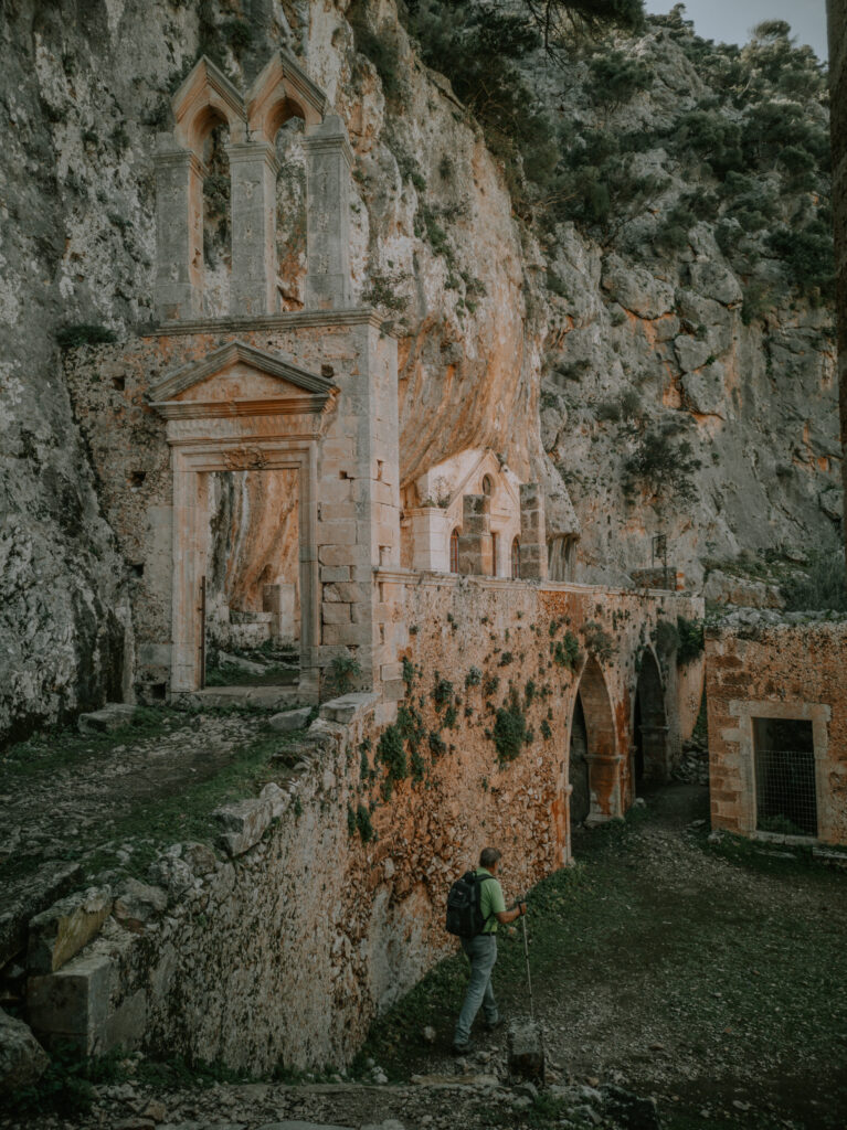
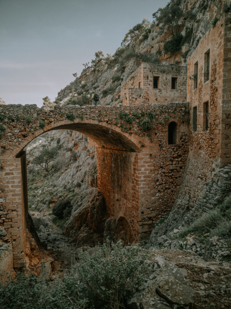
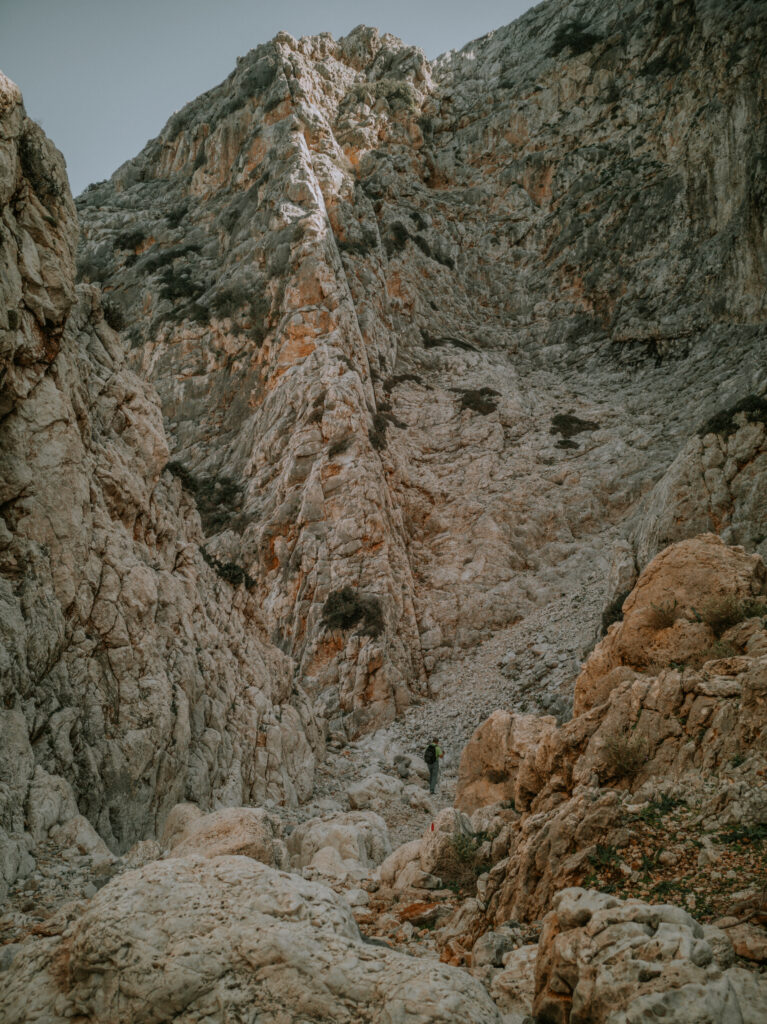
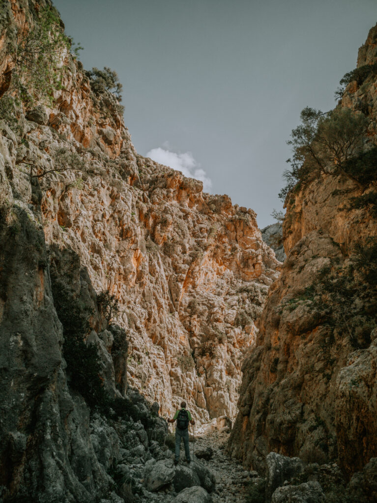
Am nächsten Tag starten wir zu unserer bisher längsten Wanderung. Wir durchqueren die Akrotiri-Halbinsel von West nach Ost am Katholiko-Kloster vorbei bis zum Avlaki Fjord. Eine sehr anspruchsvolle Wanderung von über 15 Kilometer. Danach natürlich wieder ein erfrischendes Bad im kristallklaren Wasser der Lagune von Stavros.
The next day we start our longest hike so far. We cross the Akrotiri Peninsula from west to east past the Katholiko Monastery to Avlaki Fjord. A very demanding hike of over 15 kilometers. Afterwards, of course, a refreshing swim in the crystal clear waters of the Stavros Lagoon.
Mit dieser Wanderung endet unsere diesjährige Kretareise. Am Wochenende besuchen wir unsere Freundin Pigi in Kambani und die Familie in Galatas, um uns zu verabschieden. Wir waschen nochmals unsere Wäsche und bereiten uns auf die Reise nach Deutschland vor. Christine fliegt am Mittwoch, den 23. Februar nach Doha, und Alwin nimmt die Abendfähre mit Minoan Lines von Chania nach Piräeus. Diesmal bezahlen wir für die Überfahrt 151 € für das Wohnmobil inkl. Fahrer ohne Kabine.
This year’s trip to Crete ends with this hike. At the weekend we visit our friend Pigi in Kambani and the family in Galatas to say goodbye. We wash our laundry again and prepare for the trip to Germany. Christine flies to Doha on Wednesday 23rd February and Alwin takes the evening ferry from Chania to Piraeus with Minoan Lines. This time we pay €151 for the crossing for the mobile home including driver without a cabin.

